Catalog Archive
Auction 143, Lot 321

"Pas-Kaart van de Zee Kusten van Carthagena Tierra Firma Costa Rica ende Honduras…", Keulen, Johannes van

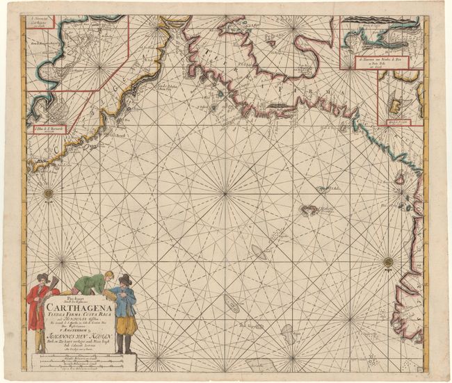
Subject: Central America

Period: 1687 (circa)

Publication: De Nieuwe Groot Lichtende Zee-Fackel…

Color: Hand Color

Size:
23 x 20.2 inches
58.4 x 51.3 cm
Download High Resolution Image
(or just click on image to launch the Zoom viewer)

This superb sea chart covers the Atlantic coast from Honduras to Colombia. The Golfo de Panama is also delineated. Four small inset maps, including a detailed view of Cartegena harbor, hide the relatively unknown inland regions of Columbia and Central America. The map is oriented with south at the top, as indicated by two compass roses, and is embellished with rhumb lines and a large, figurative cartouche.

References: Phillips (Atlases) 3444, Vol. 2, No. 31.

Condition: B+

A nice impression with good, original margins, a couple of printer's creases, and a tiny archivally repaired hole along centerfold towards bottom.

Estimate: $1,200 - $1,400

Sold for: $600

Closed on 2/13/2013

Archived