Subject: United States & Mexico
Period: 1850 (circa)
Publication:
Color: Hand Color
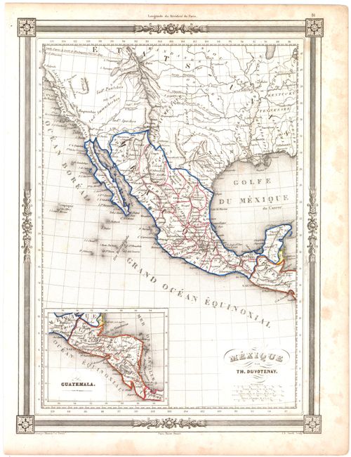
A. Mexique, by Thunot Duvotenay (9.0 x 12.1"). Centered on Mexico and the Southwest, this map depicts that part of the Southwest that would later become the states of Arizona, New Mexico, Utah, Colorado, and California (called Nouvelle Californie and Ancienne Californie). The inset Guatemala shows most of Central America through Costa Rica, all labeled Guatemala. Condition: There is some isolated foxing in the image and some small damp stains in the right blank margin.
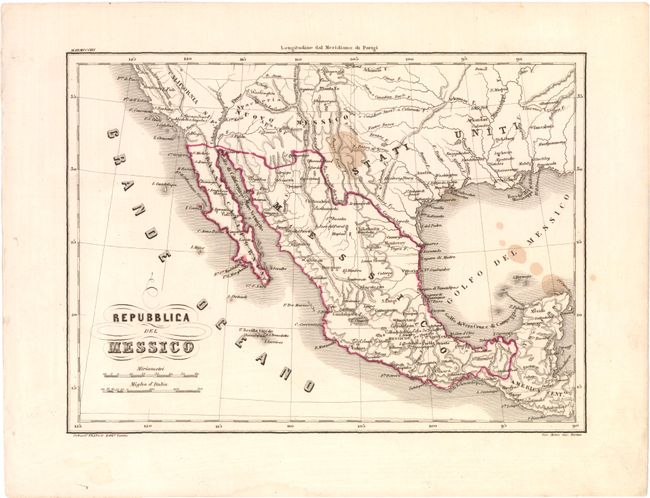
B. Repubblica del Messico, by C.P. Marmocchi (10.1 x 7.4"). This uncommon Italian map is centered on Mexico and also shows portions of the Southwest. The map presents basic detail of topography, rivers, and place names. California is labeled California Supe and Bassa California. Condition: There are several brown stains in the image.
References:
Condition: B
See descriptions above.