Subject: Rhode Island
Period: 1823 (published)
Publication: A General Atlas…
Color: Hand Color
Size:
8.7 x 11.3 inches
22.1 x 28.7 cm
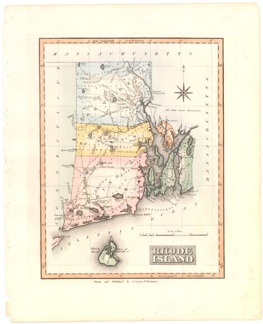
This map of Rhode Island shows the state organized into its five counties of Providence, Kent, Washington, Newport, and Bristol. The map extends to include Block Island and identifies major cities, manufactories, rivers, swamps, hills, bridges, and roads. Lucas' General Atlas is known as one of the finest general atlases produced in the U.S. at the time, due to the high quality paper, superior engraving quality, and attractive coloring style.
References: Phillips (Atlases) #742-54.
Condition: B+
Original color on watermarked paper with some light pen marks in title cartouche and light soiling confined to margins.