Subject: New York
Period: 1878 (published)
Publication:
Color: Hand Color
Size:
5.5 x 105 inches
14 x 266.7 cm
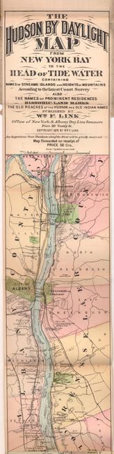
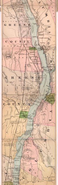
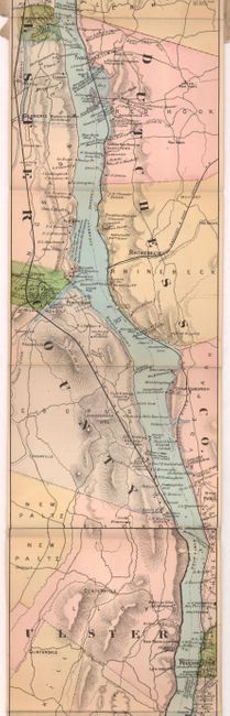
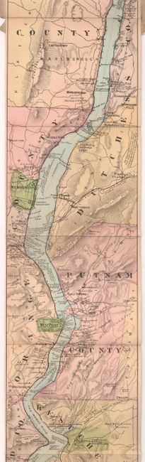
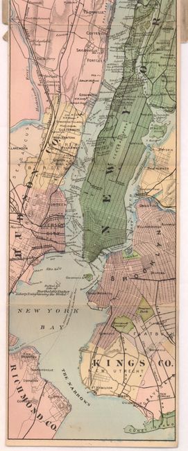
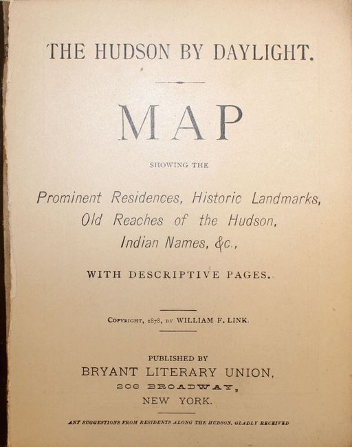
A remarkable map in strip-chart format that is over 100 inches long! Includes amazing detail on the map that is drawn on a scale of 1.5 miles per inch. Complied from U.S. Coast Survey data, this extraordinary map includes the names of prominent residences along the Hudson, historical landmarks and Indian names. Complete with 15 pp. of travel information and advertisements on the verso of the map and within the text. Folds into paper wrappers titled "The Hudson by Daylight. Map Showing the Prominent Residences, Historic Landmarks, Old Reaches of the Hudson, Indian Names, &c., with Descriptive Pages."
References:
Condition: B+
The map is lightly toned with minor soiling. The covers are heavily soiled with a few small chips, and the front paper cover is detached.