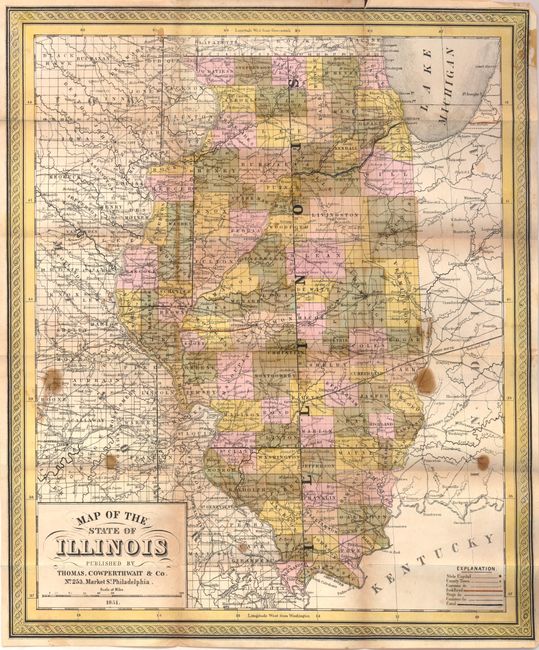
Subject: Illinois
Period: 1851 (dated)
Publication:
Color: Hand Color
Size:
13 x 15.8 inches
33 x 40.1 cm
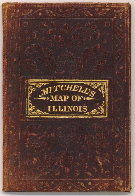
This attractive steel-engraved map of Illinois shows numerous cities, towns, roads and railroads. The National Road is shown near the middle of the state, from Vandalia to Terre Haute, Indiana. County development is up-to-date as of 1851 with Saline county merging with Gallatin in the southern portion of the state (it was re-established in 1852). Folds into original brown boards (3.3 x 5.7") with embossing and gilt title.
References:
Condition: C+
There are a number of small brown stains in the image, a 1.25" separation along one fold near Chicago, and a few other tiny splits at fold intersections. The covers are lightly worn with manuscript writing on the front paste-down.