Catalog Archive
Auction 143, Lot 202

"Chart of a Portion of the Savannah River", U.S. Corps of Engineers

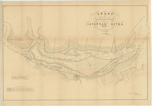
Subject: Georgia & South Carolina

Period: 1849 (published)

Publication: Sen. Doc #19, 1st Session, 31st Congress

Color: Black & White

Size:
31.5 x 20.8 inches
80 x 52.8 cm
Download High Resolution Image
(or just click on image to launch the Zoom viewer)

Large map of the part of the Savannah River adjacent to the city of Savannah. Several islands are shown including a large Hutchinson Island. The map is filled with detail, soundings in the river, and plantations along the shores (including the crop type). Surveyed and drawn by M.L. Smith under the direction of J.J. Albert and lithographed by C.B. Graham.

References:

Condition: B

Issued folding with light offsetting, three 1" splits at fold intersections, two tiny holes near the left neatline, and some soiling on Argyde Island.

Estimate: $120 - $150

Sold for: $60

Closed on 2/13/2013

Archived