Subject: Celestial
Period: 1835 (published)
Publication:
Color: Hand Color
Size:
14.3 x 16.5 inches
36.3 x 41.9 cm
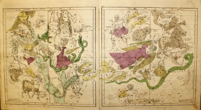
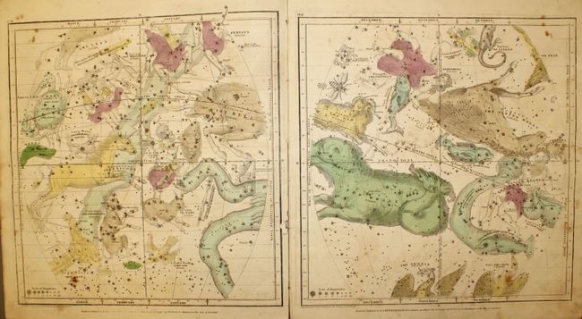
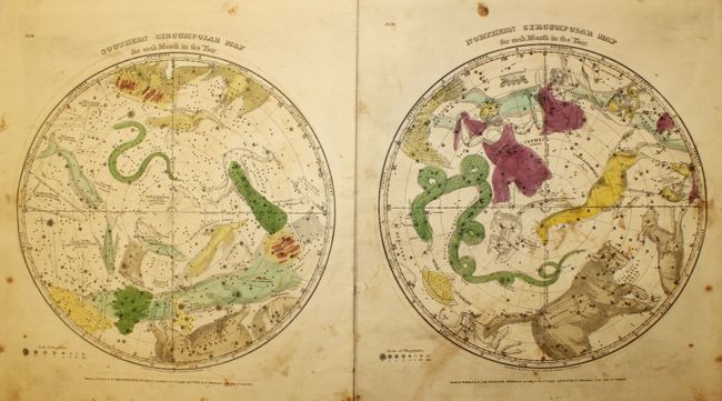
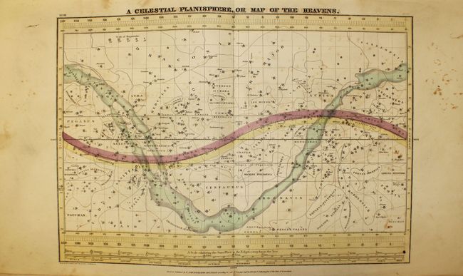
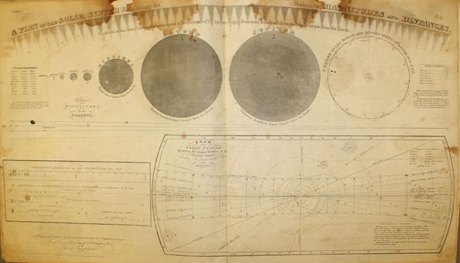
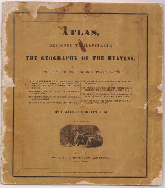
Complete celestial atlas with eight charts of the constellations. This popular star atlas was intended for the general public, rather than for professional astronomers. Only the brighter stars and nebulae, and their allegorical forms, are depicted on the charts. The stiff paper covers include a vignette of astronomers using a telescope. Charts include:
1) A Plan of the Solar System Exhibiting its Relative Magnitudes and Distances...
2) The Visible Heavens in January, February, and March.
3) The Visible Heavens in October, November, and December.
4) The Visible Heavens in April, May, and June.
5) The Visible Heavens in July, August, and September.
6) Southern Circumpolar Map for each Month in the Year.
7) Northern Circumpolar Map for each Month in the Year.
8) A Celestial Planisphere, or Map of the Heavens.
References:
Condition: C+
This atlas is nearly always found in poor condition. There is light offsetting and scattered foxing throughout. The chart for January through March has a tear that enters 1.5" into image at right, and the chart for October through December has a tear that just enters border at left. The "Plan of the Solar System" has dark damp stains at top. The spine is nearly perished and the covers are heavily worn and chipped.