Catalog Archive
Auction 142, Lot 471

"Normandia Ducatus", Blaeu, Willem

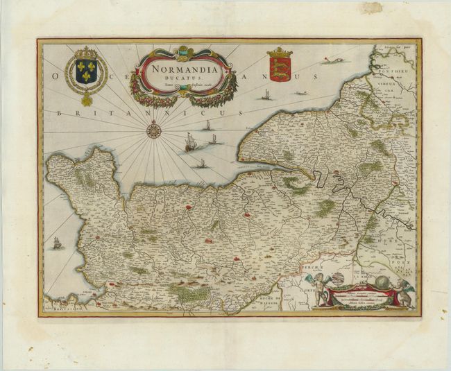
Subject: Northern France

Period: 1635 (circa)

Publication:

Color: Hand Color

Size:
20.5 x 14.8 inches
52.1 x 37.6 cm
Download High Resolution Image
(or just click on image to launch the Zoom viewer)

This very detailed map of the Normandy coast extends from Cherbourg and Avranches in the West to Dieppe and Rouen in the East. The map also features Caen, Le Havre, and Mont Saint Michel in the lower left corner. A compass rose, ships, fishing boats and sea monsters are depicted in the English Channel. The map is adorned with a large title cartouche flanked by the coats of arms of France and Normandy, and a distance scale flanked by putti.

References:

Condition: A

Attractive color with wide, original margins and marginal soiling.

Estimate: $200 - $240

Sold for: $210

Closed on 11/28/2012

Archived