Catalog Archive
Auction 142, Lot 470
"Afbeeldinge vande Vermaerde Seehaven ende Stadt van Duynkercken met der Omliggende Plaetsen Sanden ende Droochten…", Blaeu, (Family)
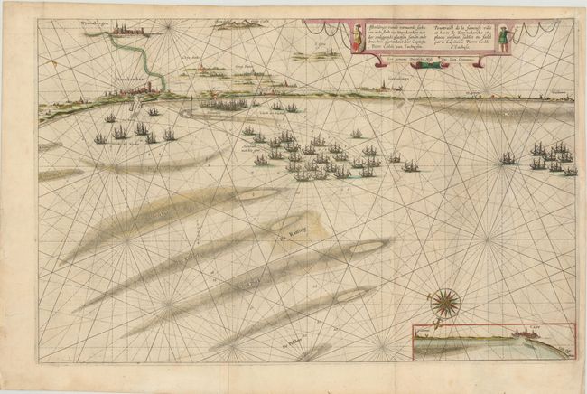
Subject: Northern France
Period: 1634 (circa)
Publication:
Color: Hand Color
Size:
27.5 x 17.5 inches
69.9 x 44.5 cm
Download High Resolution Image
(or just click on image to launch the Zoom viewer)
(or just click on image to launch the Zoom viewer)