Catalog Archive
Auction 142, Lot 409

"Cumberland", Morden, Robert

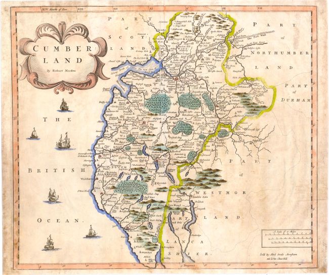
Subject: Northern England

Period: 1695 (published)

Publication: Camden's Britannia

Color: Hand Color

Size:
16.5 x 14.3 inches
41.9 x 36.3 cm
Download High Resolution Image
(or just click on image to launch the Zoom viewer)

This handsome map of the historic county of Cumberland in northwestern England identifies rivers, castles, forests, parks, and major cities such as Carlisle, which was a prominent Roman settlement as early as the 1st century. Hadrian's wall, or The Picts Wall, is shown above Carlisle, and six ships appear in in the British Ocean off the western coast. An inscription at the bottom indicates that the map was sold by Abel Swale, Awnsham and John Churchill.

References: Shirley (BL Atlases) #T.CAMD-5a.

Condition: B

Soiled with one long printer's crease near centerfold.

Estimate: $160 - $200

Sold for: $100

Closed on 11/28/2012

Archived