Subject: Europe
Period: 1850-80 (circa)
Publication:
Color: Hand Color
Size:
13 x 9 inches
33 x 22.9 cm
This lot of charming student manuscript maps cover Europe. Preparation of manuscript maps was a typical 19th century classroom exercise. These classroom maps are found in several public map collections, but they are quite rare due to their ephemeral nature.
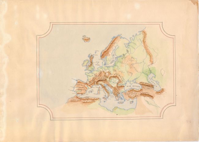
A. [Europe], circa 1850. This manuscript map of Europe was created by M. Carmen Fernandez Martinez, whose signature appears at bottom right. The map depicts the physical landscape of Europe, with illustrations of the major mountain ranges, rivers, grasslands, and arid regions. The map, drawn in ink and water colors, is surrounded by a simply double-line border. Condition: There are a couple of unobtrusive spots, two small holes in left blank margin, and damp stains in right and left blank margins, all far from map image.
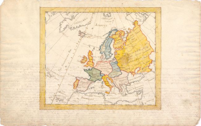
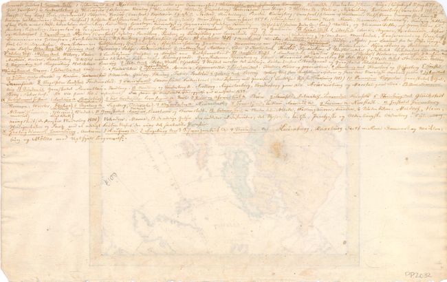
B. [Europe], circa 1880. This Danish manuscript map of Europe depicts large political divisions with the Prime Meridian running through the Isle de Fer. The map is drawn in ink and watercolor. Condition: There is a spot in Russia, light show-through of text on verso, and marginal soiling. Manuscript text on verso.
References:
Condition: B+
See description.