Catalog Archive
Auction 142, Lot 39

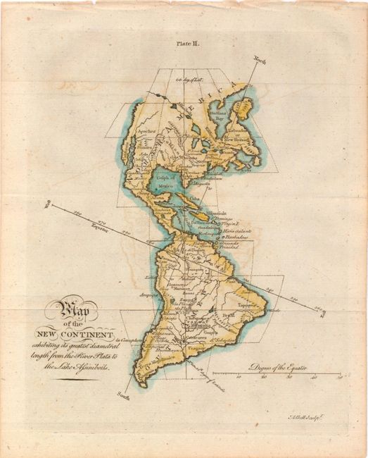
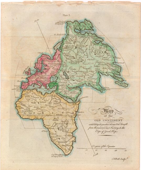
"[Lot of 2] Map of the New Continent Exhibiting its Greatest Diametral Length from the River Plata to the Lake Assiniboils [and] Map of the Old Continent Exhibiting its Greatest Diametral Length from the Point of East Tartary to the Cape of Good Hope", Bell, Andrew

Subject: World

Period: 1770 (circa)

Publication:

Color: Hand Color

Size:
7.3 x 9 inches
18.5 x 22.9 cm
Download High Resolution Image
(or just click on image to launch the Zoom viewer)

These little maps are derived from Gibson's maps of the same titles that appeared in the Gentleman's Magazine in December 1758. The cartography remains the same, but Bell's maps lack the decorative title cartouche. The maps depict an unusual projection of the two hemispheres, and also show the major cities, rivers, and mountains. A. Map of the New Continent Exhibiting its Greatest Diametral Length from the River Plata to the Lake Assiniboils. The western part of North America is not depicted. A system of rivers and lakes stretch from Lake Superior towards the Pacific.

B. Map of the Old Continent Exhibiting its Greatest Diametral Length from the Point of East Tartary to the Cape of Good Hope.

References:

Condition: B+

Issued folding with light offsetting. Binding holes along top edge of both maps, far from image.

Estimate: $160 - $200

Sold for: $120

Closed on 11/28/2012

Archived