Subject: South America & West Indies
Period: 1798 (dated)
Publication:
Color: Black & White
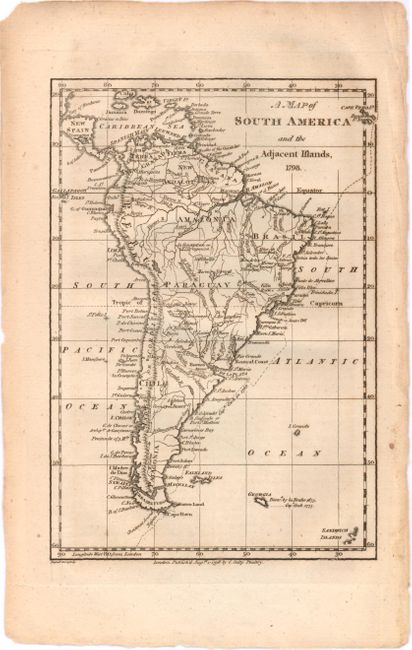
A. A Map of South America and the Adjacent Islands, 1798 (4.5 x 6.5"). Detailed miniature map of South America. A large region in the center is labeled Amazonia. The Galapagos Islands, discovered in 1535, are shown off the coast of Ecuador while the Cape Verde Islands are shown outside the right neatline. The tracks of Captain Cook in 1768 are also shown. Condition: Light toning with a few small creases confined to the right blank margin. (B+)
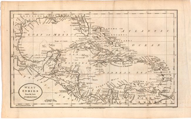
B. West Indies from the Best Authorities (12.5 x 7.3"). Detailed map of the West Indies. At this time Florida was divided into West and East Florida, with two mountain ranges depicted in East Florida. The map also shows parts of Mexico, Central America, and South America. Condition: Issued folding with two fold separations that each extend 1" into the map image with some light offsetting and toning. (B)
References:
Condition:
See descriptions above.