Catalog Archive
Auction 142, Lot 313

"Spanish Dominions in North America Middle Part", Pinkerton, John

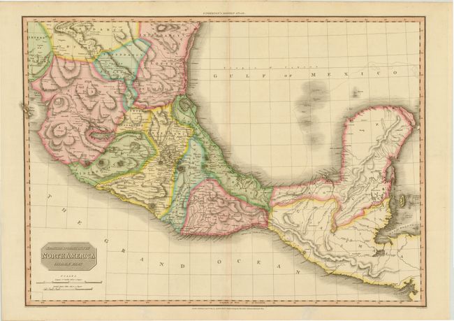
Subject: Mexico, Central America

Period: 1811 (dated)

Publication: Modern Atlas

Color: Hand Color

Size:
27.6 x 20 inches
70.1 x 50.8 cm
Download High Resolution Image
(or just click on image to launch the Zoom viewer)

This large, handsome map covers the southern part of Mexico with the Yucatan peninsula, Guatemala and Belize. The map presents a remarkable picture of the major watersheds and the volcanoes that pepper the region. Drawn by L. Hebert and engraved by Neele.

References: Phillips (A) #724-44.

Condition: A

Lovely original color on sturdy paper with a "J. Whatman 1810" watermark and a hint of toning along centerfold. There are a couple of tiny worm holes in the blank margins, not affecting the map.

Estimate: $275 - $350

Unsold

Closed on 11/28/2012

Archived