Subject: Pennsylvania
Period: 1885 (published)
Publication: Second Geological Survey of Pennsylvania
Color: Printed Color
Size:
9.5 x 7.7 inches
24.1 x 19.6 cm
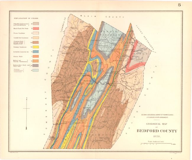
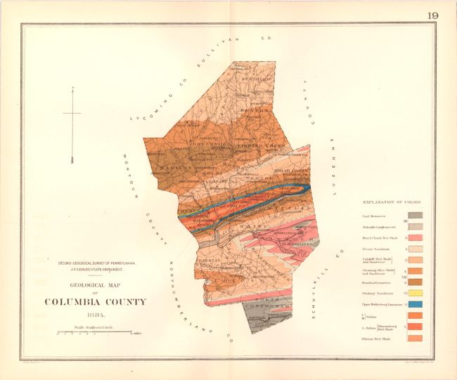
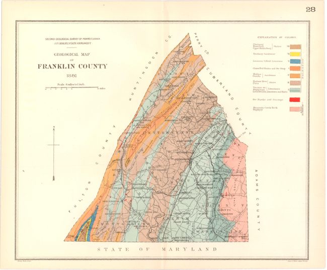
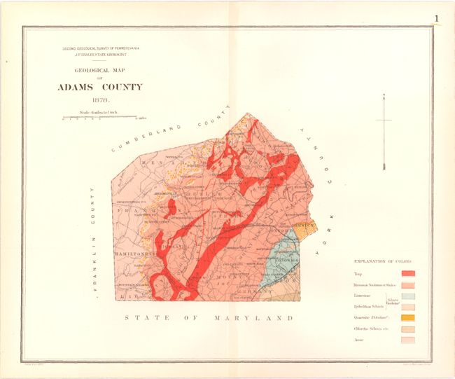
This lot of 15 maps comes from the Second Geological Survey of Pennsylvania. The survey began after the Civil War and was overseen by J. P. Lesley, who became state geologist in 1875 and served in that capacity until 1889. Maps are dated between 1878-1884. Maps included are:
A. Bedford County
B. Columbia County
C. Franklin County
D. Adams County
E. Armstrong County
F. Armstrong County
G. Cambria County
H. Crawford County
I. Columbia County
J. Cumberland County
K. Fayette County
L. Forest County
M. Potter County
N. Wyoming County
O. Wyoming County
References:
Condition: A
Maps are overall very good with just a hint of toning. One of the Armstrong County maps is very good with two long centerfold separations closed on verso with archival tape.