Subject: Maine
Period: 1898-1906 (dated)
Publication:
Color: Printed Color
Size:
12.7 x 17.5 inches
32.3 x 44.5 cm
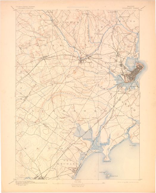
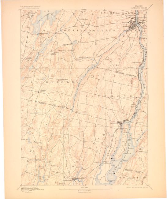
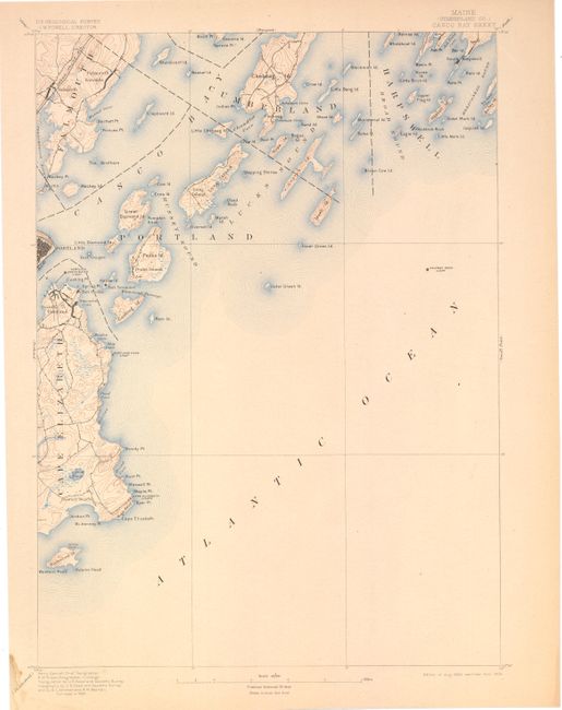
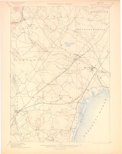
This lot of 20 topographical maps from the USGS covers much of the state of Maine. Produced under the direction of Charles Walcott, the maps show detail of the coastline, cities, roads, and railroads with a scale of 1 mile per inch.
A. Portland Sheet
B. Gardiner Sheet
C. Casco Bay Sheet
D. Kennebunk Quadrangle
E. Cherryfield Quadrangle
F. Freeport Sheet
G. Wiscasset Sheet
H. Buxton Sheet
I. Vassalboro Sheet
J. Sebago Sheet
K. Small Point Sheet
L. Swan Island Quadrangle
M. Tennant Harbor Quadrangle
N. Newfield Sheet
O. Petit Manan Quadrangle
P. Mount Desert Quadrangle
Q. Monhegan Quadrangle
R. Gray Quadrangle
S. Vinalhaven Quadrangle
T. Rockland Quadrangle
References:
Condition: A
The maps are in very good condition with a few occasional small spots and a few small damp stains confined to the blank margins.