Catalog Archive
Auction 141, Lot 776

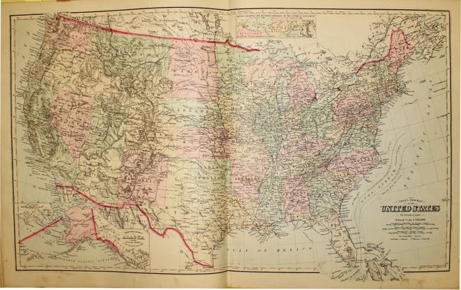
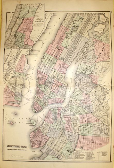
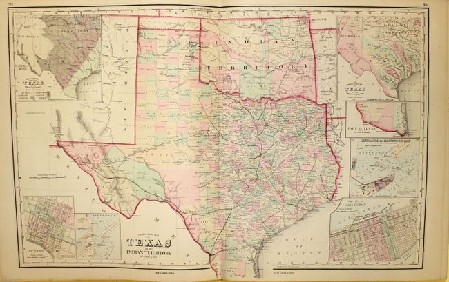
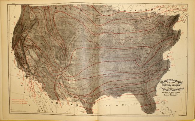
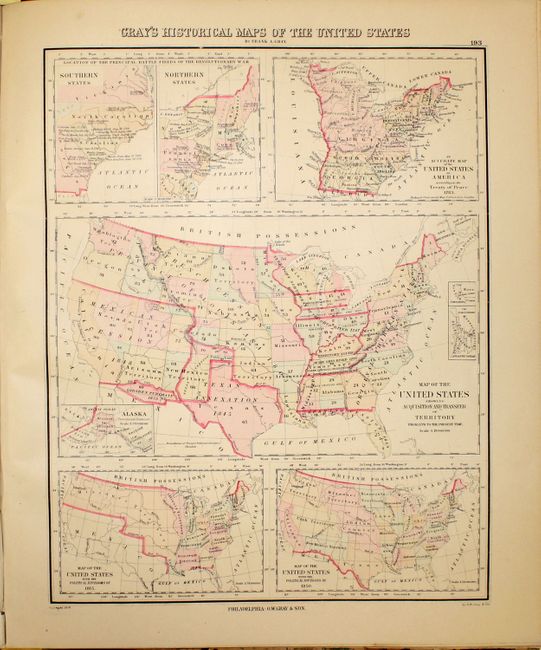
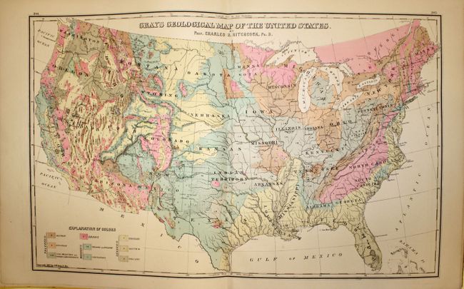
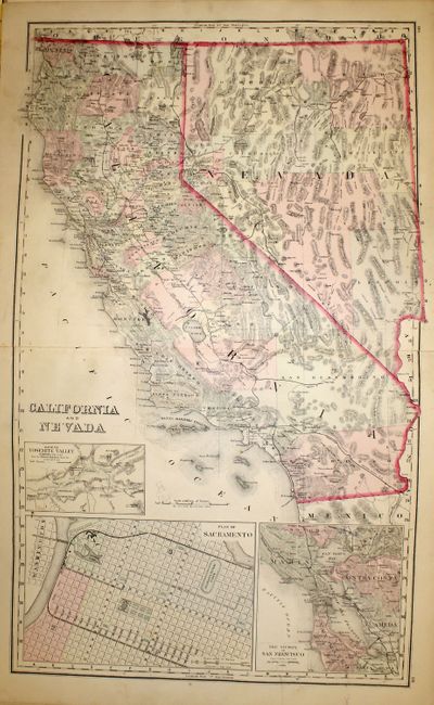
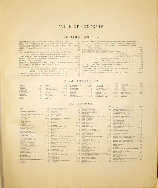
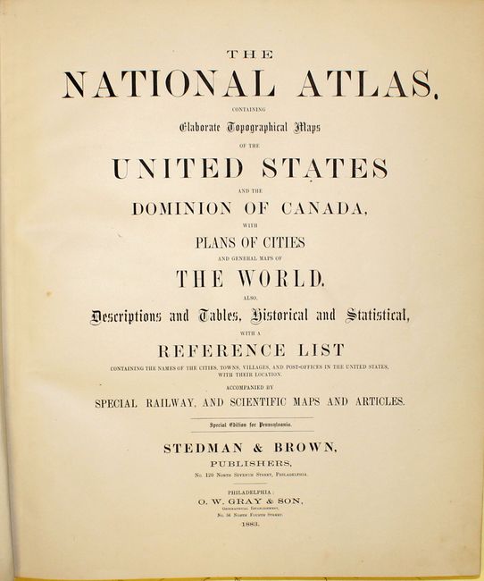
"The National Atlas, Containing Elaborate Topographical Maps of the United States and the Dominion of Canada, with Plans of Cities and General Maps of the World...", Gray, Ormando Willis & Son

Subject: Atlases

Period: 1883 (published)

Publication:

Color: Hand Color

Size:
15 x 17.8 inches
38.1 x 45.2 cm
Download High Resolution Image
(or just click on image to launch the Zoom viewer)

This complete atlas contains 155 maps on 41 single and 31 double-page sheets. Includes the uncolored Climatological map by Blodget, a Geological Map of the United States based upon Hitchcock, and a number of city plans including Baltimore, Boston, New York and San Francisco. Includes fine double-page maps of Texas and Indian Territory as well as California and Nevada. Folio, with title page, contents, text and descriptions, maps, and index. Hardbound in brown cloth with quarter calf and gilt title on front cover and spine, marbled endpapers.

References:

Condition: B+

Text and maps are very good to fine with light scattered foxing. The hinge is starting, the spine is cracked and detached at bottom, and the covers are bumped and worn.

Estimate: $800 - $1,000

Sold for: $525

Closed on 9/5/2012

Archived