Catalog Archive
Auction 141, Lot 665

"[Title on Verso] Asiae Tabula Decima Continet Indiam intra Gangem", Waldseemuller/Fries
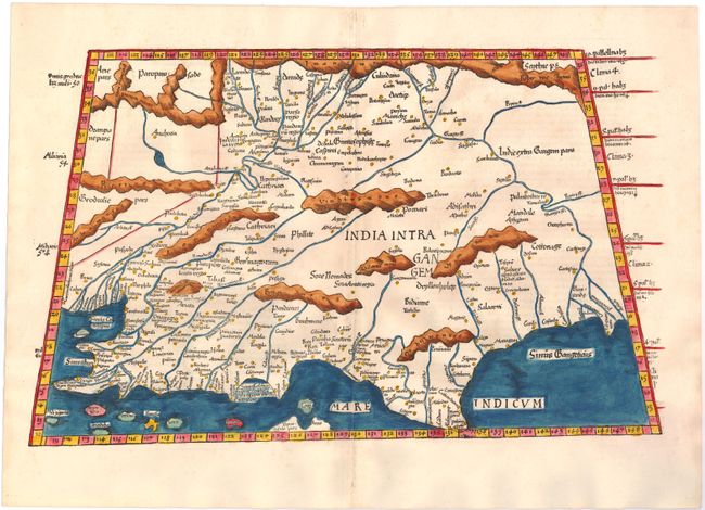
Subject: India

Period: 1541 (published)

Publication: Claudii Ptolemaei Alexandrini Geographicae

Color: Hand Color

Size:
19 x 11.6 inches
48.3 x 29.5 cm
Download High Resolution Image
(or just click on image to launch the Zoom viewer)

This woodblock map illustrates the Ptolemaic concept of the region between the deltas of the Indus and Ganges Rivers. The map is reduced from Martin Waldseemuller's map and presents the region with large mountain ranges, bold rivers and numerous place names. Following Ptolemy's outline, southern India is severely truncated and the northern tip of Taprobana appears incorrectly to the west of the subcontinent. Latin title and text on verso.

References: Mickwitz & Miekkavaara #211-24.

Condition: A

There are tiny worm holes along the centerfold in top and bottom blank margins, not affecting map.

Estimate: $700 - $900

Sold for: $500

Closed on 9/5/2012

Archived