Catalog Archive
Auction 141, Lot 544

"Nou Grecia Secondo Tutte le Regioni, & Provincie di quella di qua & di la dal Hellesponto", Munster, Sebastian
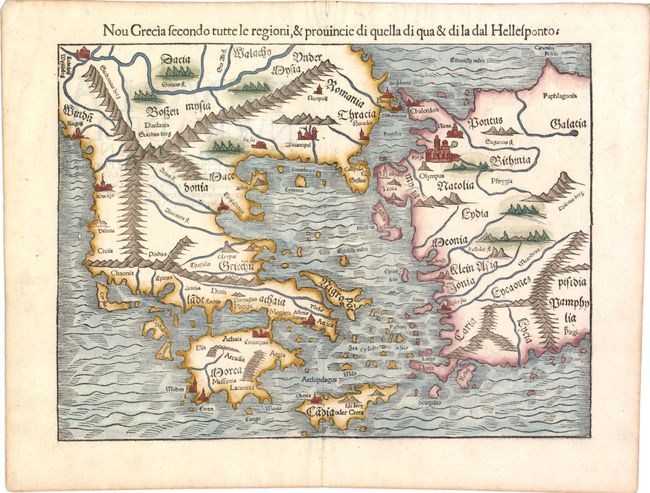
Subject: Greece

Period: 1575 (circa)

Publication: Cosmographia

Color: Hand Color

Size:
13.5 x 10.3 inches
34.3 x 26.2 cm
Download High Resolution Image
(or just click on image to launch the Zoom viewer)

An early double-page woodblock map of Greece, the Aegean Sea and western Turkey, focused on the Dardanelles (Hellespont), which separates Europe from Asia. It locates Athens, Constantinople, Arcadia, Crete, Rhodes, Bursa (Byrsa), and more, extending to show part of the Black Sea. Troy (Troia) is on the coast near Lesbos Island. Major rivers are named and mountains are shown in typical Ptolemaic fashion. Latin text on verso.

References: Zacharakis, Christos #1579.

Condition: B+

Good margins with one tiny worm hole at bottom of map near centerfold and a tiny crack along the neatline, only visible when held to light.

Estimate: $400 - $500

Sold for: $300

Closed on 9/5/2012

Archived