Catalog Archive
Auction 141, Lot 478

"Franciae Orientalis (Vulgo Franckenlant) Descriptio Auctore Sebast A Rotenhan [on sheet with] Monasteriensis et Osnaburgensis Episcopatus Descriptio", Ortelius, Abraham
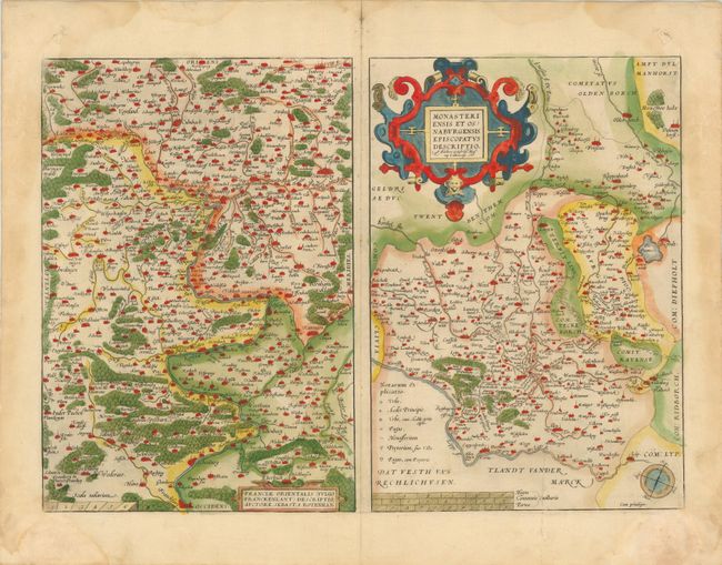
Subject: Germany

Period: 1573 (published)

Publication: Theatrum Orbis Terrarum

Color: Hand Color

Size:
20.2 x 14.3 inches
51.3 x 36.3 cm
Download High Resolution Image
(or just click on image to launch the Zoom viewer)

Two fine maps on a full folio sheet. The map of Franckenlant covers the Main River valley. The densely detailed map is oriented with north to the left and Frankfurt am Main is located at the bottom. The map was based on the cartography of Sebastian Rotenhan. The map of Monasteriensis illustrates the region of Lower Saxony and North Rhein-Westphalia with the cities of Meppen, Munster and Osnabruck. It was derived from a map made by Godfried Mascop and is adorned with a bold strapwork title cartouche. This is the first state, published in the first Dutch edition in 1573.

References: Van den Broecke #100.

Condition: B+

Original color on watermarked paper with damp stains in blank margins, just entering map at corners. There is one short edge tear at right, and some paper weakness in bottom corners of sheet, not affecting map.

Estimate: $140 - $180

Sold for: $100

Closed on 9/5/2012

Archived