Catalog Archive
Auction 141, Lot 448

"Pas-Caert van Texel tot aen de Hoofden, Vertoonende de Zee-Custen van Vrieslant, Hollant, Zeelant, Vlaenderen, en de Oost Kust van Engeland, als mede Hoemen alle de Selve Kusten en Havens uyt der Zee sal Aendoen", Doncker, Henrick

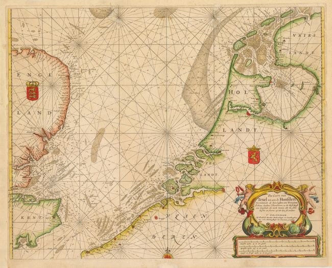
Subject: Northwestern Europe

Period: 1660 (circa)

Publication:

Color: Hand Color

Size:
21 x 16.6 inches
53.3 x 42.2 cm
Download High Resolution Image
(or just click on image to launch the Zoom viewer)

This detailed sea chart of the North Sea depicts the coastlines of southeastern England, northern France, Belgium, and the Netherlands. There is excellent detail of soundings, sand banks, anchorages in the sea, as well as miniature illustrations of coastal cities. The chart is handsomely adorned with a compass rose, two coats of arms, and a title cartouche featuring putti and sea monsters.

References:

Condition: C+

There are archival repairs to some worm tracks at top, a long centerfold separation, and a few short tears that enter 0.5-1" into image. There are a few small abrasions on the sea monsters in title cartouche. Remargined at left, right and top.

Estimate: $400 - $500

Sold for: $180

Closed on 9/5/2012

Archived