Catalog Archive
Auction 141, Lot 440

"La Rhinlande Amstellande et Terres Circouosines", La Feuille, Daniel de

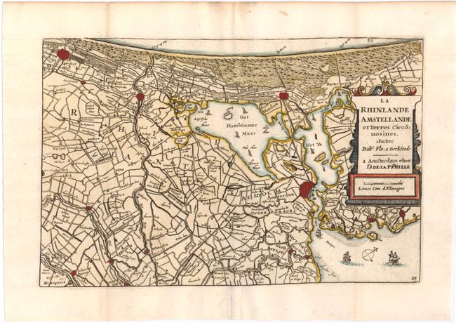
Subject: Western Netherlands

Period: 1706 (circa)

Publication: Les Tablettes Guerrieres…

Color: Hand Color

Size:
9 x 5.9 inches
22.9 x 15 cm
Download High Resolution Image
(or just click on image to launch the Zoom viewer)

This detailed map depicts the coast of the Netherlands from Den Haag to north of Amsterdam. Towns, roads, and the topography are well depicted. The Haerlemmer Meer is depicted at center, which was drained in the 19th century.

References:

Condition: A

Issued folding, now pressed with a fold separation in bottom blank margin that has been closed on verso with old paper.

Estimate: $200 - $240

Sold for: $150

Closed on 9/5/2012

Archived