Catalog Archive
Auction 141, Lot 437

"Rhenolandiae et Amstellandiae Exactissima Tabula", Blaeu, Willem

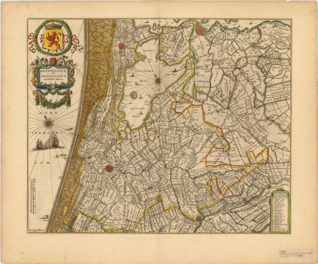
Subject: Netherlands

Period: 1639 (circa)

Publication:

Color: Hand Color

Size:
19.5 x 16 inches
49.5 x 40.6 cm
Download High Resolution Image
(or just click on image to launch the Zoom viewer)

This attractive map of Holland is centered on the area around Amsterdam, Leiden and Haarlem, with north oriented to the upper left. The tiny street patterns of the major cities are shown along with good detail of the surrounding provinces. A key in bottom right corner identifies 19 different locations. Adorned by a decorative title cartouche and coat of arms. French text on verso.

References:

Condition: B+

There is some very light text show-through and a few edge tears confined to the blank margins. An ownership label is adhered to the lower right corner, well away from the image.

Estimate: $400 - $500

Sold for: $450

Closed on 9/5/2012

Archived