Subject: Virginia
Period: 1856 (dated)
Publication:
Color: Black & White
Size:
17.8 x 28.8 inches
45.2 x 73.2 cm
The Office of Coast Survey is the oldest U.S. scientific organization, dating from 1807 when Congress directed that a "survey of the coast" be carried out. By 1836, it was called the U.S. Coast Survey and in 1878, the name was changed to the U.S. Coast and Geodetic Survey. Today the Office of Coast Survey is a division of the National Oceanic and Atmospheric Administration NOAA.
The survey teams, composed of civilians as well as Army and Naval officers, charted the nation's waterways and produced a wide array of reports, survey charts, hydrographic studies of tides and currents, astronomical studies and observations, and coastal pilots. These charts are an important record of the changing nature of the nation's coastlines. In additional to coastal charts, the U.S. Coast and Geodetic Survey produced land sketches, Civil War battle maps, and the early aeronautical charts.
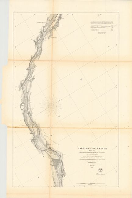
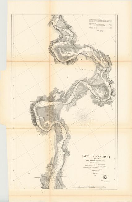
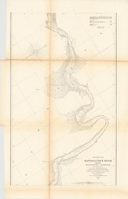
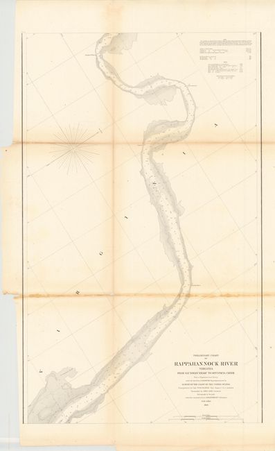
This lot includes four large-scale maps showing the course of the Rappahannock River from Fredericksburg southeast to about half way to the Chesapeake Bay. The charts show streets, individual buildings, plantations and numerous soundings.
A. Rappahannock River Virginia from Fredericksburg to Near Moss Neck…
B. Rappahannock River Virginia from Moss Neck To Port Royal…
C. Preliminary Chart of Rappahannock River Virginia from Near Port Royal to Saunders' Wharf
D. Preliminary Chart of Rappahannock River Virginia from Saunders' Wharf to Occupacia Creek…
References:
Condition: B+
There is some light toning along some of the folds and a few short splits at fold intersections.