Subject: Long Island, New York
Period: 1903-05 (dated)
Publication:
Color: Printed Color
Size:
13.5 x 19.5 inches
34.3 x 49.5 cm
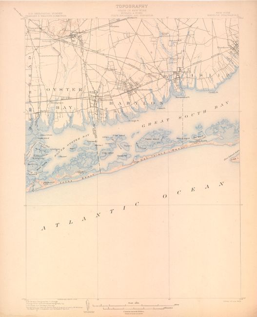
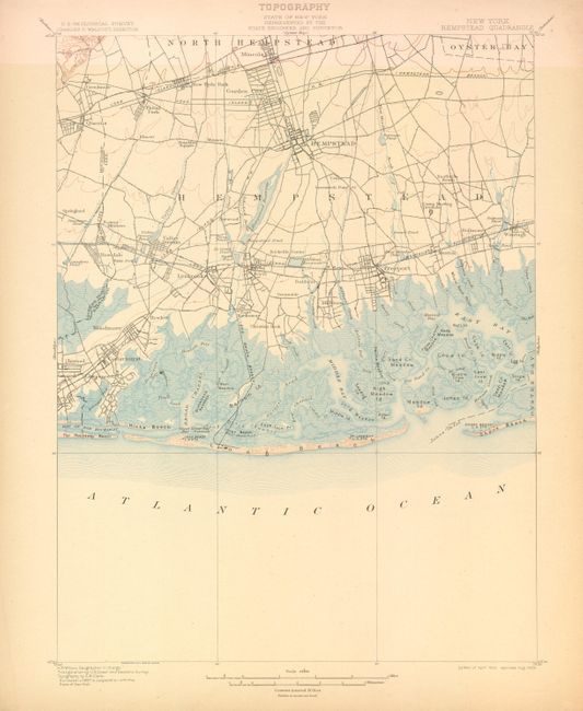
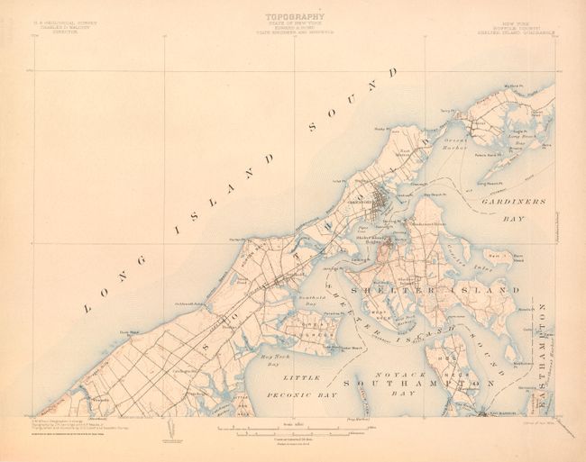
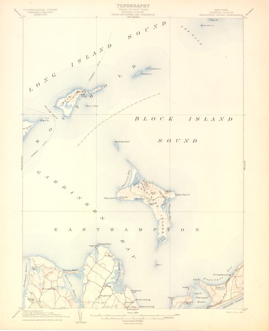
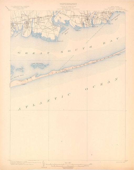
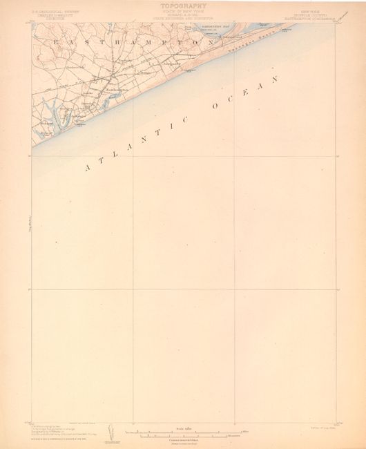
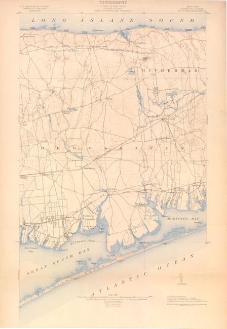
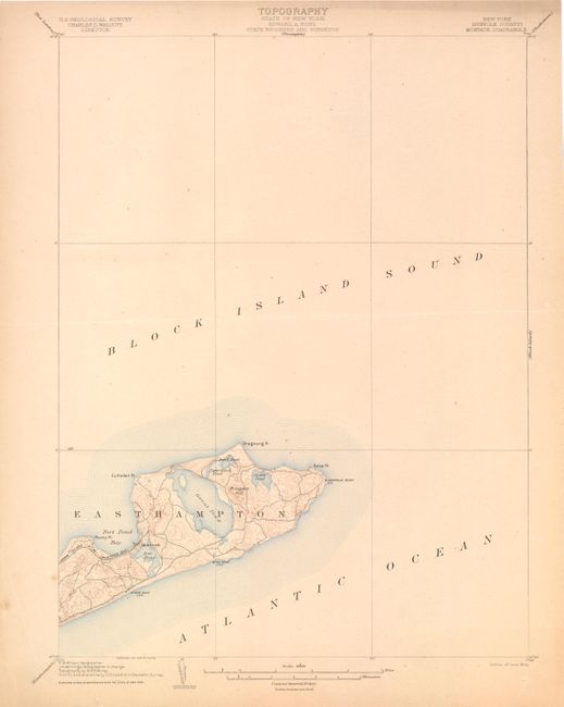
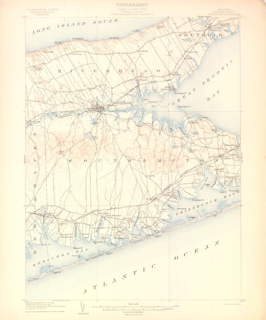
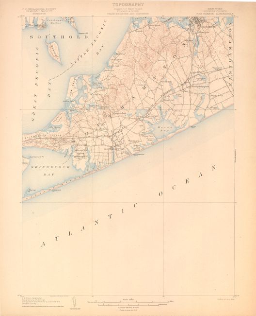
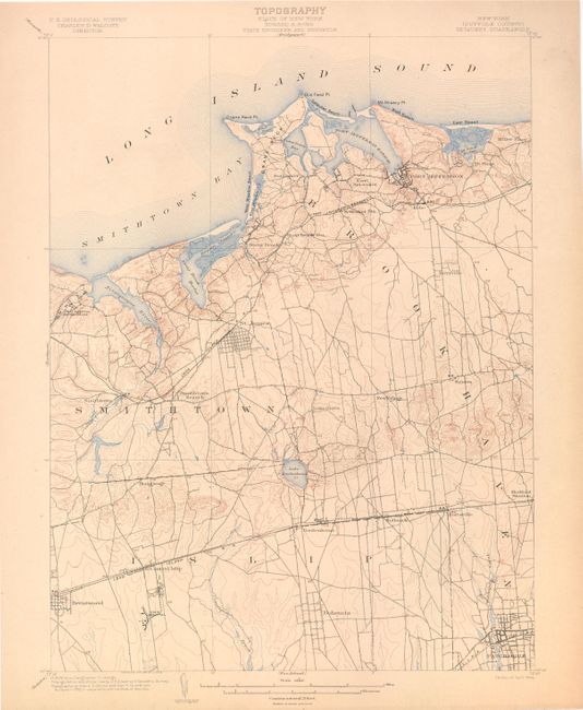
This lot of 11 topographic quadrangle maps from the USGS cover Long Island, NY. Produced under the direction of Charles Walcott, the maps show detail of the coastline, cities, roads and railroads with a scale of 1 mile per inch.
A. Babylon Quadrangle
B. Hempstead Quadrangle
C. (Suffolk County) Shelter Island Quadrangle
D. (Suffolk County) Gardiners Island Quadrangle
E. (Suffolk County) Fire Island Quadrangle
F. (Suffolk County) Easthampton Quadrangle
G. (Suffolk County) Moriches Quadrangle
H. (Suffolk County) Montauk Quadrangle
I. (Suffolk County) Riverhead Quadrangle
J. (Suffolk County) Sag Harbor Quadrangle
K. (Suffolk County) Setauket Quadrangle
References:
Condition: B+
There is some light toning and soiling primarily in the blank margins. The Moriches map has a 3" fold separation that is outside of the image area. The Montauk map has a horizontal crease across the center and a short edge tear.