Subject: Colorado
Period: 1913 (dated)
Publication:
Color: Printed Color
Size:
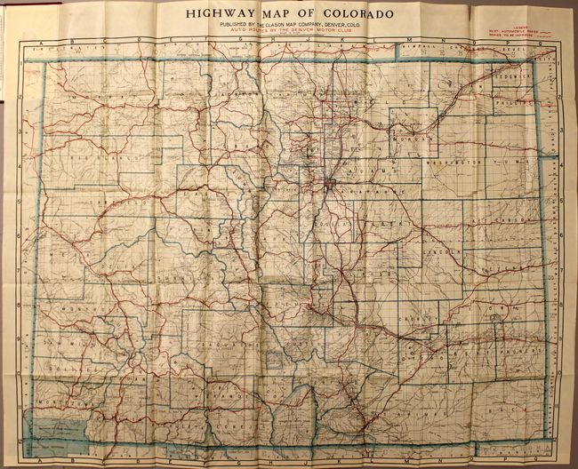
38.8 x 31.5 inches
98.6 x 80 cm
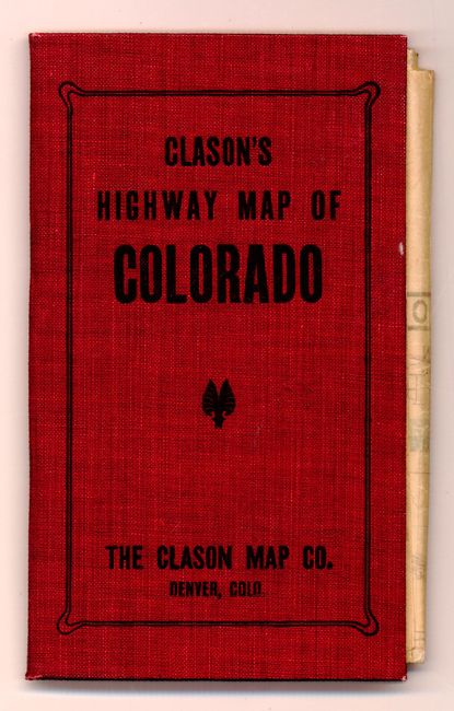
This is a nice, early map of Colorado that emphasizes the highway system at the time. The best roads are depicted by thin red lines, many of which are named including the Sante Fe Trail, Overland Trail, and Golden Belt Route. Roads that need improving are noted with a dotted red line. The map folds into red cloth covers titled "Clason’s Highway Map of Colorado" and is accompanied by a 40 pp. index (4 x 6.9").
The Clason Map Company was a pioneer in the production of maps to meet the growing demand from automobile enthusiasts. The existing bicycle and railroad maps did not serve well for this new form of transportation and maps were needed to identify roads suitable for automobiles; roads with adequate gravel, bridges, gasoline and repair shops. The American Automobile Association produced the first maps specifically for automobiles in 1905 and George S. Clason quickly followed suit compiling maps with the assistance of local automobile clubs.
References:
Condition: B+
There are numerous splits at fold intersections and a few minor spots in the image. The covers are lightly worn and the index is in fine condition.