Subject: Arizona
Period: 1896-1907 (dated)
Publication:
Color: Printed Color
This lot of three consists of two detailed government issued maps and a promotional map of Arizona Territory including:
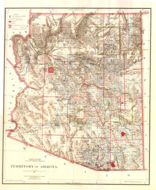
A. Territory of Arizona by Harry King, dated 1896, printed colored (17" x 20.5"). Map includes numerous mining towns and displays 12 county divisions. Condition - binding trim at right.
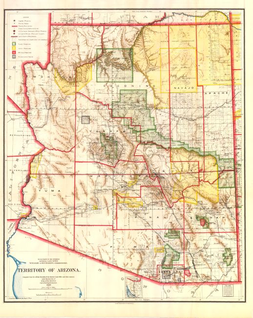
B. Territory of Arizona by Frank Bond, dated 1903, printed colored (17" x 20.5"). Displays 12 county divisions and is the first government map to show Sedona.
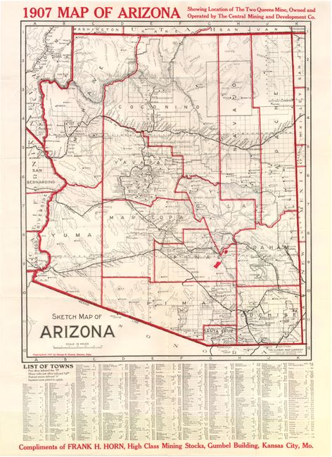
C. Sketch Map of Arizona by Clason Map Company, dated 1907, printed colored (14" x 16.5"). Promotional map printed by Clason for the Central Mining and Development Company. Shows the two Queen's mines in Pinal County and has a town location index at the bottom. Many small mining towns not found on other maps are noted.
References:
Condition: A
See descriptions. All issued folding.