Subject: Atlases
Period: 1872 (published)
Publication:
Color: Hand Color
Size:
13 x 18 inches
33 x 45.7 cm
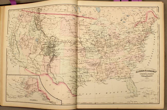
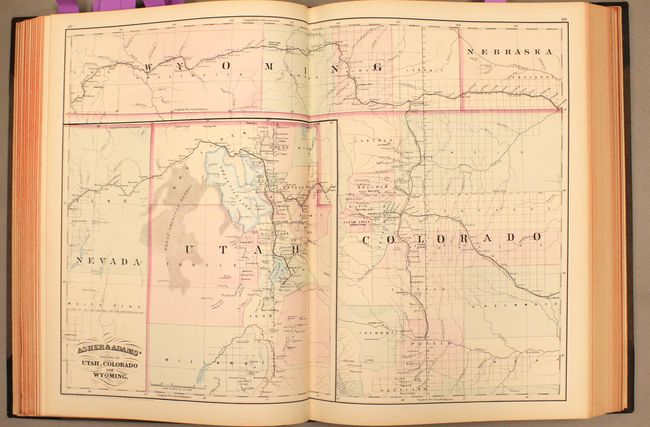
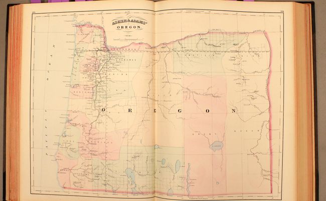
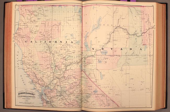
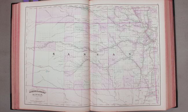
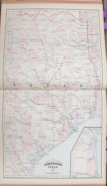
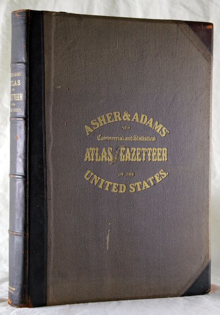
This large-format atlas of the United States is complete with 29 double-page maps. Asher & Adams' Atlas was most notable for its excellent large-format maps of the states west of the Mississippi. The atlas includes a world map on Mercator's projection, a map of Europe, a United States and Territories map, a geological map of the US, and numerous state maps. The maps of Kansas and Nebraska depict the western portion of the states as largely unorganized, and the map of Texas only includes the eastern portion of the state. An extensive index at the back indicates locations of money order offices, post offices, and railroad stations. The atlas also includes populations by city, county, state, and territory for the US and part of Canada, as well as 10 pages of classifications of prominent firms of New York, Maine, and Cincinnati, Ohio. Folio, 265 pages with title page, index of maps, appendix and maps. Original binding with half calf over brown cloth-covered boards with gilt title on cover and spine.
References: Phillips, P.L. (Atlases) 1270.
Condition: A
Maps are clean and bright, mostly in fine to near fine condition, with a few in very good condition with a few faint spots. Foxing on last 2 pages of text block and back free endpapers. The back hinge is starting. The covers and spine show minimal wear with bumped corners. This is a very nice example of this atlas.