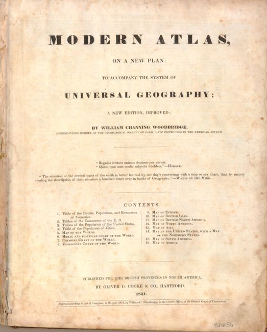
Subject: Atlases
Period: 1831 (dated)
Publication:
Color: Hand Color
Size:
9.5 x 11.8 inches
24.1 x 30 cm
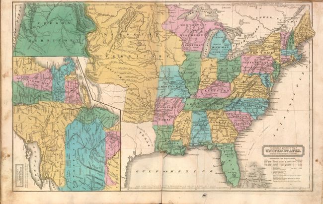
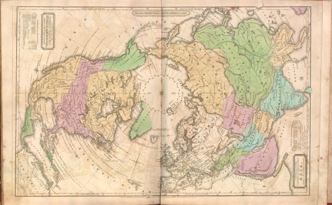
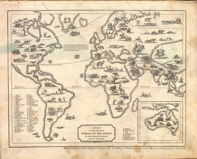
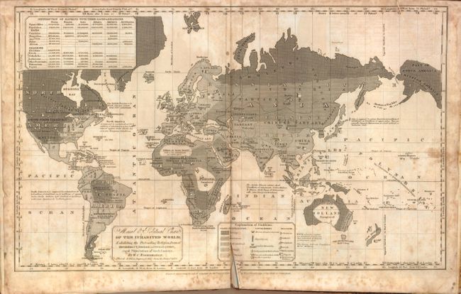
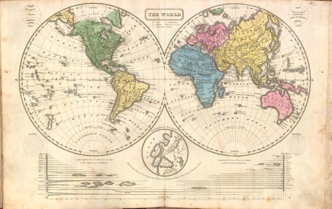
This uncommon geography contains six double-page and four single-page maps including a very nice Geographical & Statistical Map of the United States that shows both the state of Missouri and a very large Missouri Territory occupying much of the west. Texas is named the Spanish Province of Texas. An interesting Moral & Political Chart of the Inhabited World… uses a series of emblems to explain the state of civilization - from savage to enlightened, as well as the type of government, and the common religions. Other thematic maps include Isothermal Chart, Or, View of Climates & Productions… and Chart of the Principal Animals of the World, the latter featuring numbered images of various species of wildlife and a key providing the names of the animals. William C. Woodbridge (1794-1854), a congregational minister and educational reformist, was editor of The American Annals of Education and Instruction. 4to. Complete. Hardbound in original paper-covered boards and red leather spine.
References:
Condition: C+
Original color with scattered foxing and soiling. Text pages have a few small damp stains. The "Moral & Political Chart of the Inhabited World" shows moderate foxing and has a tear at upper right and a centerfold separation at bottom that both enter 1" into map image. The British Isles, North America and Asia maps show some light offsetting. Covers are worn and are partially separated from the contents. Binding is somewhat loose.