Catalog Archive
Auction 140, Lot 640

"La Transilvania Divisa su l'Esemplare delle Carte Migliori…", Cantelli da Vignola, Giacomo
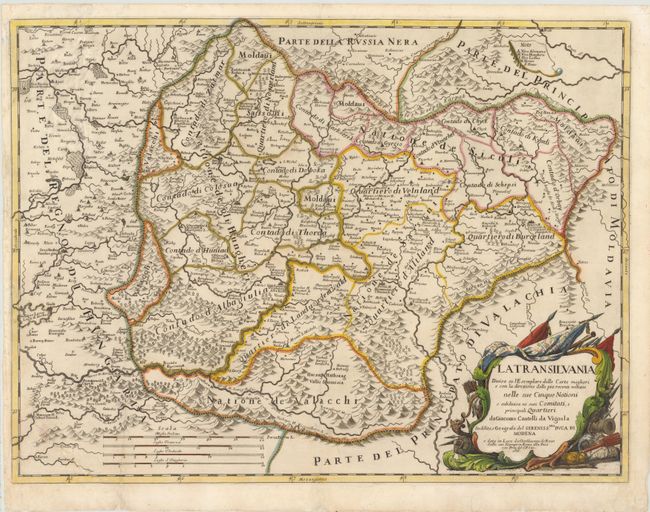
Subject: Romania

Period: 1686 (dated)

Publication: Mercurio Geografico…

Color: Hand Color

Size:
22.1 x 16.5 inches
56.1 x 41.9 cm
Download High Resolution Image
(or just click on image to launch the Zoom viewer)

This boldly engraved map of the Transylvanian region is quite uncommon. Rivers and mountains dominate the map with the locations of cities and villages carefully noted. The title and a notation are enclosed in a cartouche festooned with military flags and cannon. Cantelli pioneered this bold engraving style that was followed and further developed by Coronelli. The map was published in conjunction with Giacomo Giovanni de Rossi.

References:

Condition: B+

Light soiling with a couple of tiny centerfold separations that have been archivally repaired. There are some printer’s creases at left that have been reinforced on verso with Japanese tissue, and a tiny worm hole at top right.

Estimate: $350 - $425

Sold for: $250

Closed on 5/23/2012

Archived