Catalog Archive
Auction 140, Lot 604
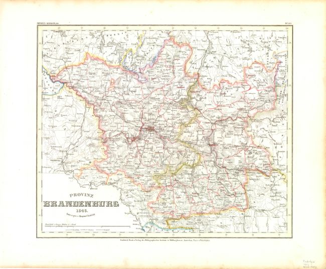
"Provinz Brandenburg", Radefeld, Carl Christian Franz
Subject: Eastern Germany
Period: 1846 (dated)
Publication: Meyer's Hand Atlas
Color: Hand Color
Size:
14 x 11.8 inches
35.6 x 30 cm
Download High Resolution Image
(or just click on image to launch the Zoom viewer)
(or just click on image to launch the Zoom viewer)