Catalog Archive
Auction 140, Lot 509

"A Map of the Seven United Provinces, with the Land of Drent, and The Generality Lands…", Faden, William

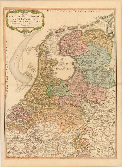
Subject: Netherlands

Period: 1794 (dated)

Publication:

Color: Hand Color

Size:
21 x 28.3 inches
53.3 x 71.9 cm
Download High Resolution Image
(or just click on image to launch the Zoom viewer)

This well-engraved map of the Netherlands includes parts of Belgium and Germany. The map is filled with details of towns of various sizes, roads, boundary lines, and the topography of the land. The numerous sand banks in the North Sea and Zuyder Zee are well depicted. Originally published in 1789, this is the second edition published in 1794.

References:

Condition: B+

Light toning with faint color transfer.

Estimate: $200 - $240

Sold for: $150

Closed on 5/23/2012

Archived