Catalog Archive
Auction 140, Lot 499

"Chart of the North and Baltic Seas &c.", Thomson, John

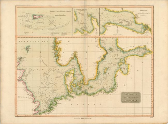
Subject: Baltic Sea and North Sea

Period: 1816 (dated)

Publication: Thomson's New General Atlas

Color: Hand Color

Size:
23.8 x 19.1 inches
60.5 x 48.5 cm
Download High Resolution Image
(or just click on image to launch the Zoom viewer)

This detailed sea chart of the North Sea and Baltic Sea is filled with soundings, shoals, fishing banks, and navigational hazards. The map extends from the Shetland Islands and the Straits of Dover in the west to the Gulf of Finland in the east. Three insets at top show the Harbour of Heligoland, the Port of Revel, and the Harbour of St. Petersburg.

References:

Condition: B+

Original color with light toning along centerfold and a few small, archivally repaired holes in a blank area of map at bottom.

Estimate: $230 - $300

Unsold

Closed on 5/23/2012

Archived