Subject: Ohio
Period: 1823 (circa)
Publication: A General Atlas…
Color: Hand Color
Size:
9 x 11 inches
22.9 x 27.9 cm
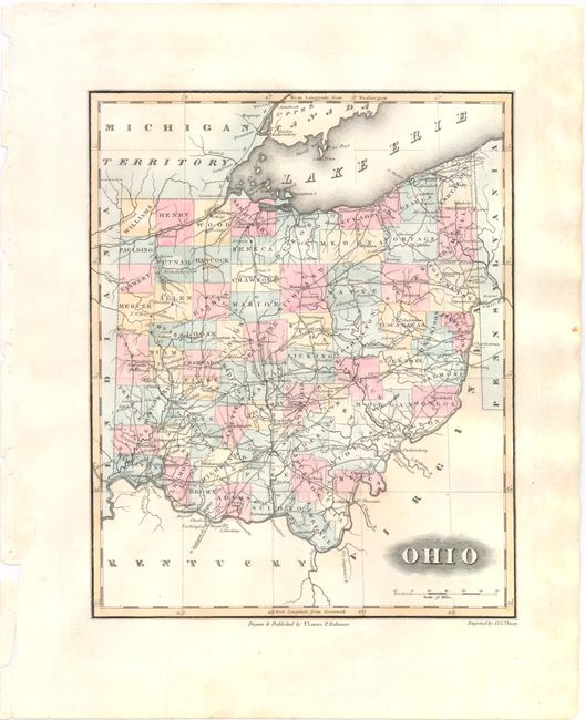
This detailed county map of Ohio depicts up to date county lines for 1821, just prior to the organization of Lorain county in 1822. There is good detail of rivers, roads, and towns, including Columbus, Dayton and Cincinnati. Lucas' General Atlas is known as one of the finest general atlases produced in the U.S. at the time, due to the high quality paper, superior engraving quality, and attractive coloring style. Engraved by J. V. N. Throop.
References: Phillips (Atlases) #742-65.
Condition: A
Original color on watermarked paper with wide margins and light soiling in blank margins.