Catalog Archive
Auction 140, Lot 257

"The State of Massachusetts. Compiled from the Best Authorities", Lewis/Carey

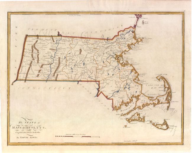
Subject: Massachusetts

Period: 1800 (circa)

Publication: Guthries Geography Improved

Color: Hand Color

Size:
18.8 x 14.1 inches
47.8 x 35.8 cm
Download High Resolution Image
(or just click on image to launch the Zoom viewer)

This early map of Massachusetts illustrates the hills, streams, ponds and lakes, county boundaries, main roads, and towns. It extends to include Martha's Vineyard and Nantucket. An early survey marker, Station Trees, is located just north of Dracut at the New Hampshire border with two tiny trees engraved at that point. This is the second state with the page number 28 at upper right.

References: Wheat & Brun #213.

Condition: B+

Lightly toned.

Estimate: $350 - $450

Sold for: $180

Closed on 5/23/2012

Archived