Subject: United States
Period: 1884-97 (dated)
Publication:
Color: Printed Color
Size:
28 x 17.5 inches
71.1 x 44.5 cm
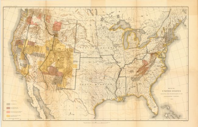
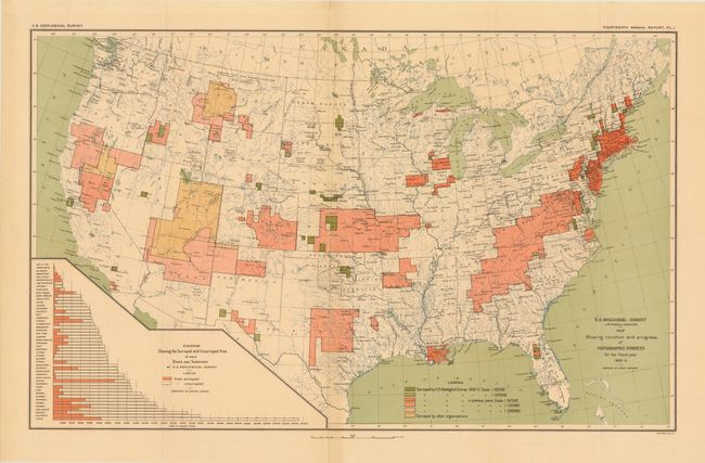
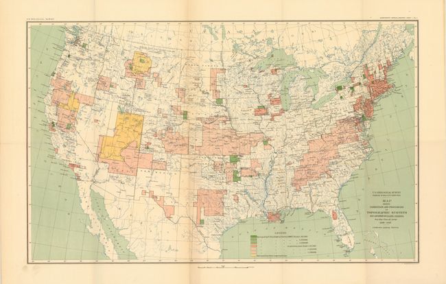
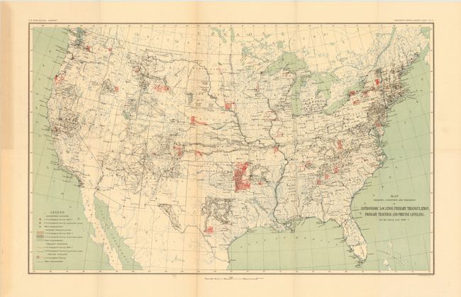
This lot of four USGS maps exhibits the progression of surveying efforts during the 1880s and 1890s. The maps were published in the 5th, 14th and 18th Annual Reports under the direction of John Wesley Powell and Charles Walcott.
A. Map of the United States Exhibiting the Progress Made in the Geographic Survey 1884, dated 1884. Condition: Light offsetting. (B+)
B. Map Showing Condition and Progress of Topographical Surveys for the Fiscal Year 1892-3, dated 1893. Condition: (A)
C. Map Showing Condition and Progress of Topographic Surveys and Location of Gaging Stations for the Fiscal Year 1896-1897, dated 1897. Condition: Light toning along one fold with one fold separation confined to the blank margin. (B+)
D. Map Showing Condition and Progress of Astronomic Location, Primary Triangulation, Primary Traverse and Precise Levelling for the Fiscal Year 1896-7, dated 1897. Condition: Light toning in the left blank margin and along one fold. (B+)
References:
Condition:
See descriptions. Issued folding.