Catalog Archive
Auction 140, Lot 116
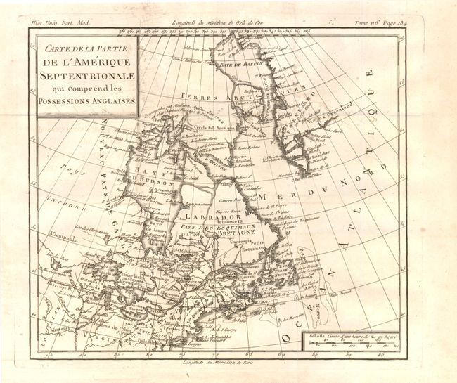
"Carte de la Partie de l'Amerique Septentrionale qui Comprend les Possessions Anglaises", Brion de la Tour, Louis
Subject: Colonial United States & Canada
Period: 1782 (circa)
Publication:
Color: Black & White
Size:
10 x 8.8 inches
25.4 x 22.4 cm
Download High Resolution Image
(or just click on image to launch the Zoom viewer)
(or just click on image to launch the Zoom viewer)