Subject: Reference Books
Period: 1949-59 (published)
Publication:
Color:
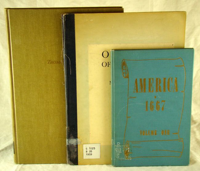
A) America, 1667 by Louis M. Bloch, published 1959, printed color, (6 x 9"). There are four double-page reproductions of Sanson's maps: "Amerique Septentrionale", "Le Canada, ou Nouvelle France ...", "La Floride", and "Audience de Guadaljara, Nouveau Mexique, Californie ..." 63 pp. Blue cloth covers with gilt title on front cover and spine. Condition - Ex-library with slightly worn and bumped covers. (B+)
B) Old Maps of the World: Set I North America Featuring maps produced in 1757 by Jacques Nicolas Bellin by Bloch and Company, published 1959, black & white, (8.5 x 11"). Includes title page, contents and 10 facsimile maps. Bound into a library folder with stamp on title page. Folder covers are somewhat worn and bumped. (B+)
C) A Topographical Description of the Dominions of the United States of America by Thomas Pownall, published 1949 (revised and enlarged), black & white, (8.5 x 12.5"). 235 pp. with 2 large folding facsimile maps including A Map of the Middle British Colonies in North America by Pownall and A General Map of the Southern British Colonies by Romans. Hardbound in tan cloth boards with gilt text on the front cover and spine. Condition - covers are slightly soiled but the pages are very clean and tight. (A)
References:
Condition:
See descriptions.