Subject: Atlases
Period: 1862 (published)
Publication:
Color: Hand Color
Size:
15.3 x 18 inches
38.9 x 45.7 cm
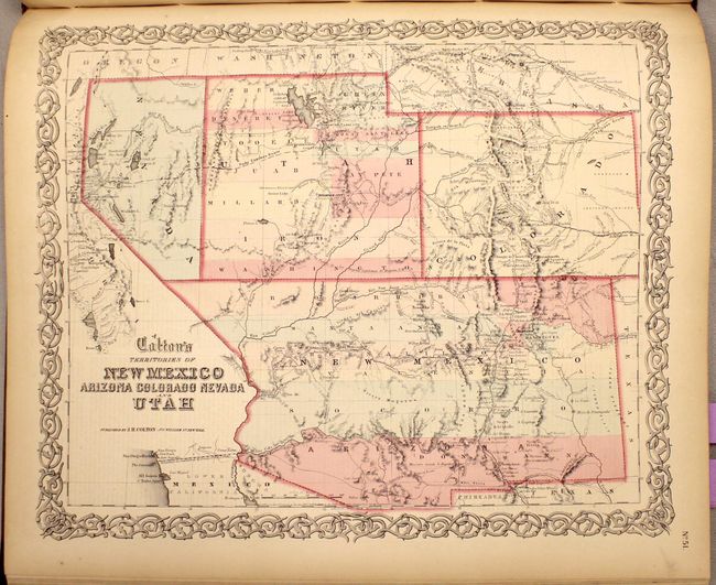
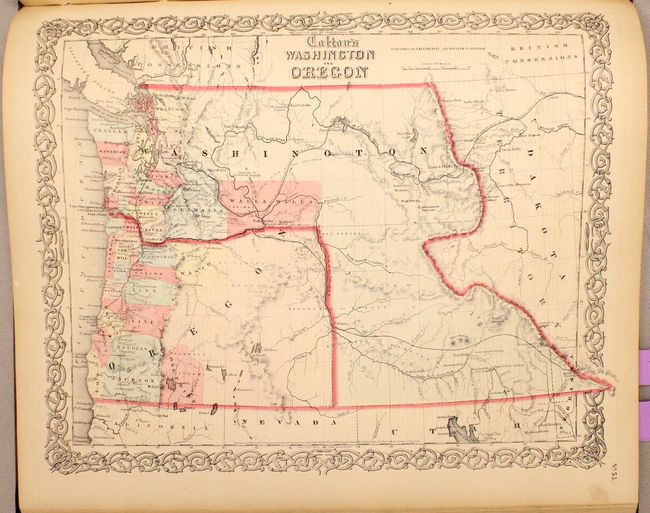
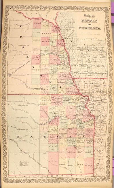
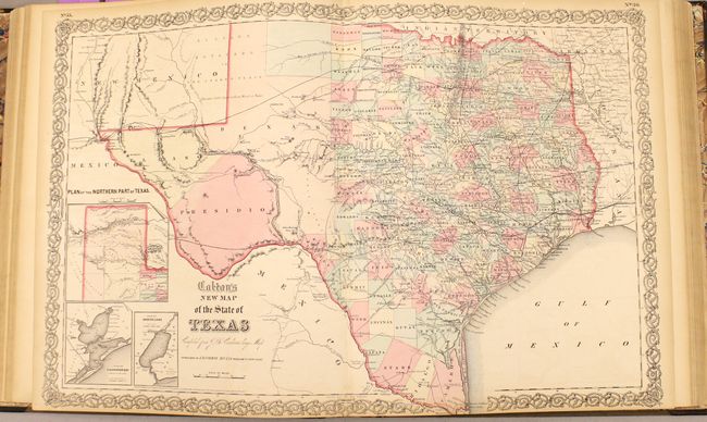
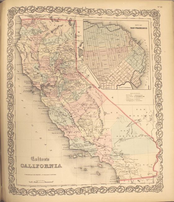
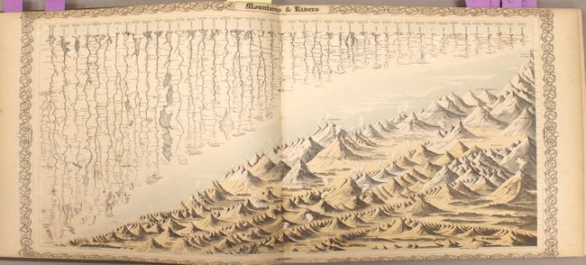
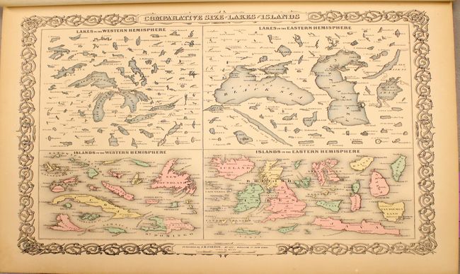
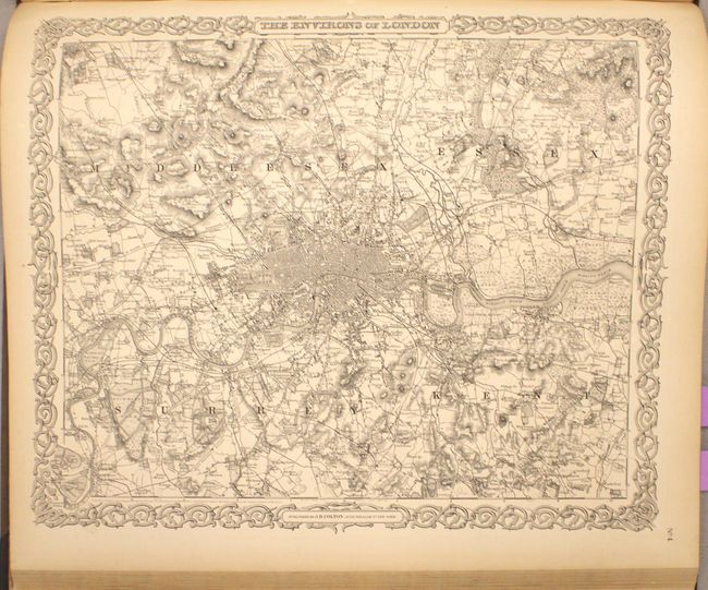
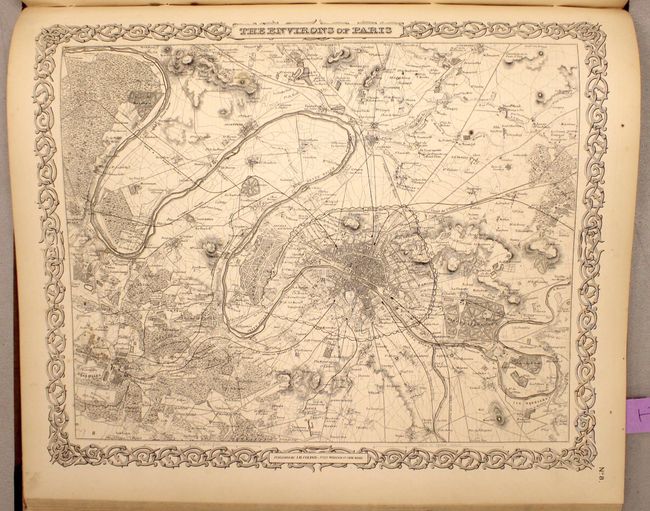
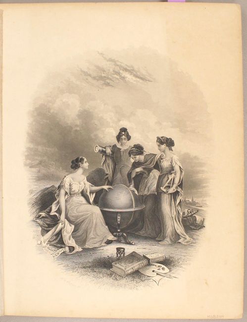
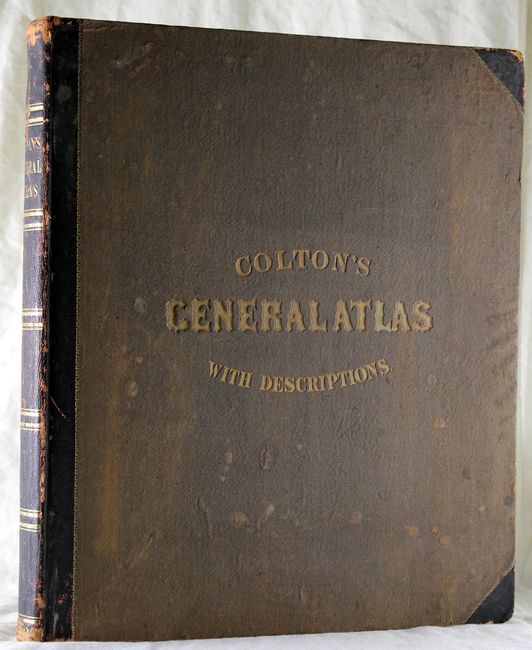
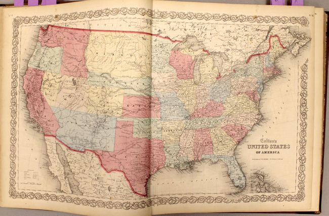
Colton's massive single-volume General Atlas, is considered by many to be the pinnacle of American cartography in the latter part of the 19th Century. There are 100 single-page and 8 double-page maps in all, including many highly sought-after state and regional maps. It includes the rare Territories of New Mexico Arizona Colorado Nevada and Utah with the new territories of Colorado and Nevada delineated, but Arizona still forming the southern part of the large New Mexico Territory. Other important state maps featured in this atlas are the double-page editions of Kansas and Nebraska, which shows little development in the western reaches of each state; Washington & Oregon, which shows Washington Territory encompassing the region that would become Idaho; and nice maps of Texas and California. The atlas also features several thematic maps including Mountains and Rivers and Comparative Size of Lakes and Islands. A pair of fine city plans are the single-page, uncolored Environs of London and Environs of Paris. The frontispiece features four beautiful muses gathered around the globe in a classical allegorical engraving. This is a beautiful example of a rarely offered atlas by one of America's pre-eminent cartographers. The atlas is complete and sound with frontispiece, title page, list of maps, text and maps. Folio. Hardbound in original half calf over green cloth with decorative gilt titling on front and spine.
References:
Condition: A
The maps are generally clean with no serious flaws in the image and vary between very good to fine, with light toning in blank margins. A few maps in the latter portion of the atlas have some minor offsetting. The map of the U.S. has a 4" centerfold separation through Texas and a 2" tear to the east of TX in the Gulf. The map of England and Wales has some stains primarily confined to the blank margins. The covers are lightly stained and bumped at tips. Overall this is a very nice example.