Subject: Atlases
Period: 1835 (published)
Publication:
Color: Hand Color
Size:
9 x 11.3 inches
22.9 x 28.7 cm
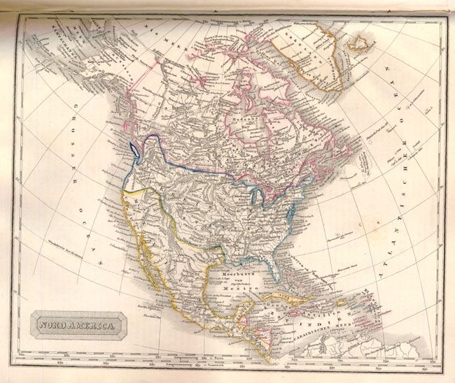
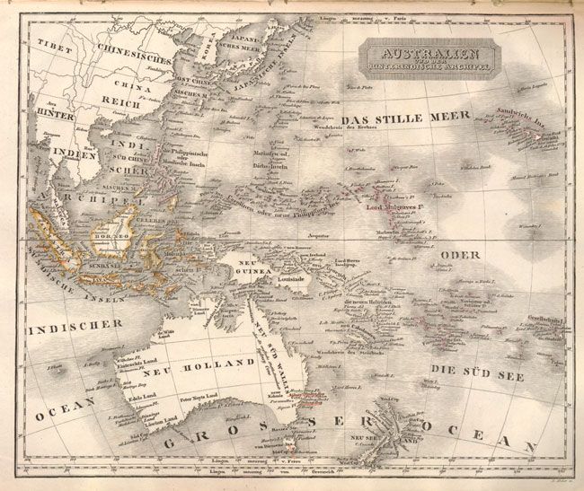
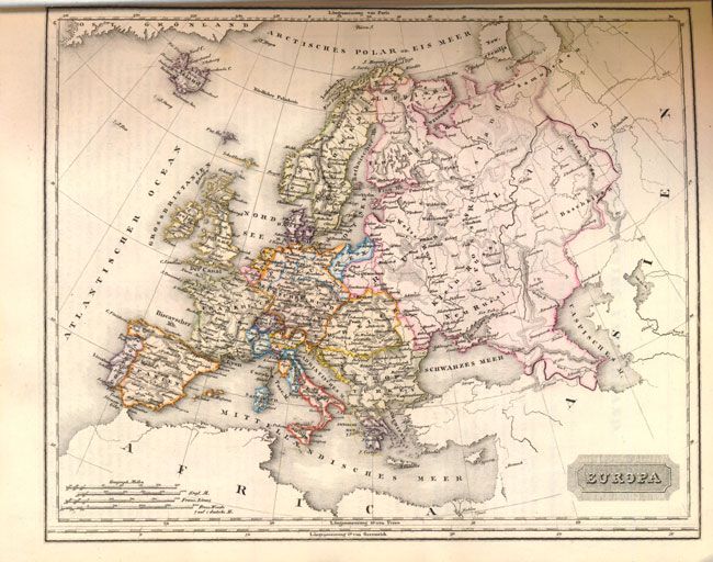
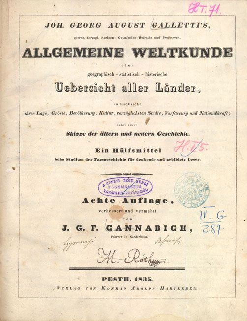
This uncommon historical and geographical atlas was compiled by Johann Georg August Galletti. It contains 25 maps focused primarily on Europe with one map each of Africa, Asia, North America, South America, and Australia/Southeast Asia. The North America map shows the United States border well into Canada, reflecting the American claims in the Pacific Northwest. Australia is labeled New Holland. The map of Africa provides an excellent illustration of the European colonies along the coastline and little-known interior regions. Published by Adolf Hartleben in Budapest, Hungary with German text. 4to., 574 pp., original quarter calf and marbled boards.
References:
Condition: B+
Maps are generally very good with original outline color and text pages are clean. Covers show some wear and the edges are bumped. Library stamps and several ink notations on the title page.