Catalog Archive
Auction 139, Lot 630

"China as Surveyed by the Jesuit Missionaries between the Years 1708 & 1717 with Korea & the Adjoining Parts of Tartary", Kitchin, Thomas

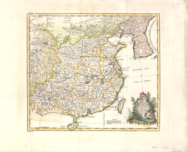
Subject: China & Korea

Period: 1770 (circa)

Publication:

Color: Hand Color

Size:
12.5 x 11.3 inches
31.8 x 28.7 cm
Download High Resolution Image
(or just click on image to launch the Zoom viewer)

This beautifully engraved map, based on Jesuit surveys, is filled with a surprising amount of detail for its size. The map shows excellent detail in China including towns of various sizes, including Nan-Chang and Pe-King (Beijing), the Great Wall, and topography. Extends to include Formosa (Taiwan), the Mongol regions, all of the Korean Peninsula, labeled Kau-Li-Qua or Kingdom of Korea, and Hay-Nan (Hainan) Island. The map is embellished with a title cartouche featuring a large shell and putti. Engraved by Thomas Kitchin.

References:

Condition: A

Watermarked paper with light soiling in wide blank margins.

Estimate: $180 - $220

Sold for: $140

Closed on 2/15/2012

Archived