Catalog Archive
Auction 139, Lot 456

"Britania et Normadia cum Confinijs", Mercator/Hondius

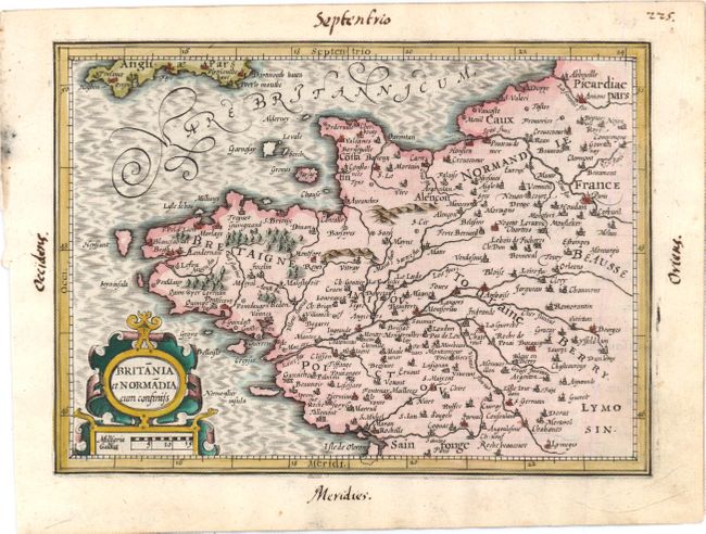
Subject: Western France

Period: 1607 (published)

Publication: Atlas Minor

Color: Hand Color

Size:
8 x 6 inches
20.3 x 15.2 cm
Download High Resolution Image
(or just click on image to launch the Zoom viewer)

Charming map of Brittany and Normandy filled with details of the topography, cities and villages. The map shows the English Channel with the southern coast of England. The map is adorned with a strapwork title cartouche that incorporates a distance scale. This is from the first edition, with Latin text on verso.

References:

Condition: A

Marginal soiling. Manuscript page number and cardinal directions in blank margins.

Estimate: $80 - $100

Sold for: $60

Closed on 2/15/2012

Archived