Catalog Archive
Auction 139, Lot 416

"Scotiae Tabula", Quad, Matthias von Kinckelbach
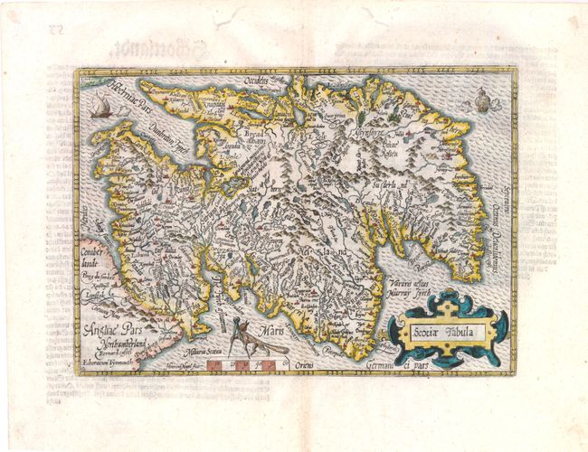
Subject: Scotland

Period: 1592 (circa)

Publication:

Color: Hand Color

Size:
10.5 x 7.5 inches
26.7 x 19.1 cm
Download High Resolution Image
(or just click on image to launch the Zoom viewer)

This endearing map of Scotland, with north oriented to the right, is filled with towns, counties, rivers and mountains. The map is based on Ortelius' map of 1573 with Isle of Arran and the Hebrides omitted. It features a strapwork cartouche, a fox holding dividers above the scale, and two battling ships. Engraved by Henricus Nagel. German text on verso.

References: Moir, D.G. vol.I, p.166.

Condition: A

Worm tracks in the upper blank margin, far from map image, have been closed on verso with paper tape. Dried adhesive residue in far corners from previous framing.

Estimate: $425 - $500

Unsold

Closed on 2/15/2012

Archived