Subject: Pennsylvania, Gettysburg, Civil War
Period: 1873-86 (circa)
Publication:
Color: Black & White
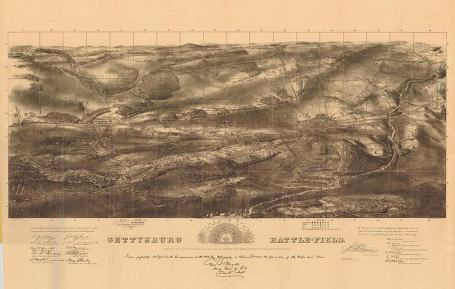
This lot of two maps is focused on the Battle of Gettysburg. The first is Bachelder's iconic view of the battlefield composed of sketches drawn on site by Bachelder himself. The map has great detail of the battlefield topography and includes the positions of the Federal and Confederate troops for each of the three days of the battle. Printed by George H. Walker & Co. of Boston, the view includes the engraved signatures of several military officers and educators from Pennsylvania College.
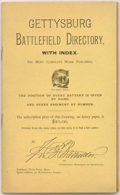
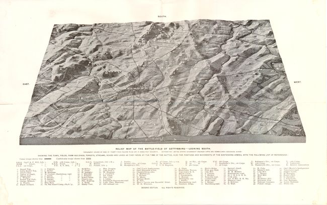
This folding view is inserted into soft covers entitled "Gettysburg Battlefield Directory with Index". A 12 pp. index gives the location of the military units involved in the battle. The second item is a relief map of the Gettysburg Battlefield with north at bottom. This second edition has a lettered list at the bottom margin with names of the various corps with their corresponding locations noted on the map. 100 numbered important locations are also listed on the bottom margin and noted on the map.
A. Gettysburg Battle-Field by John Bachelder, from Gettysburg Battlefield Directory, circa 1873, black and white (31.5" x 18"). Condition - there is a 1" separation along one fold, else very good.
B. Relief Map of the Battle-Field of Gettysburg - Looking South by Ambrose Lehman, circa 1886, black and white (14.5" x 8.3"). Condition - archival tape on verso to reinforce a fold.
References: Stephenson #324.2
Condition: B+
See descriptions.