Subject: Colorado
Period: 1908 (circa)
Publication:
Color: Printed Color
Size:
20 x 15 inches
50.8 x 38.1 cm
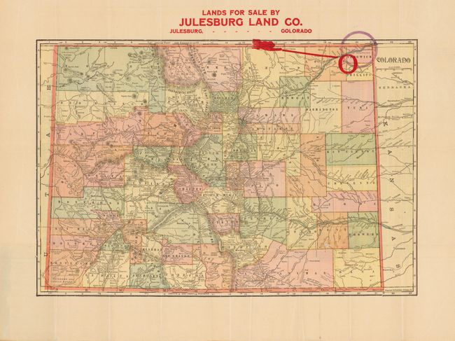
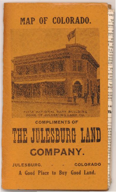
This real estate promotional map of Colorado highlights the area offered for sale in the northeastern part of the state. The region along the South Platte River is marked on the map with large red and purple circles. Julesburg Land Co., owned by cattle baron C.F Parker, developed land to be irrigated by the Julesburg Reservoir for wheat production, known as "Prairie Gold." On verso is a county and city index. Folds into brown paper wrappers with an illustration of the First National Bank on the cover which was also owned by C.F. Parker.
References:
Condition: B
There is a small tear at lower left that extend 0.5" into the image and four small separations on one fold. There is some slight paper weakness near the red circle.