Catalog Archive
Auction 139, Lot 199
"County and Township Map of Utah and Nevada", Mitchell/Bradley
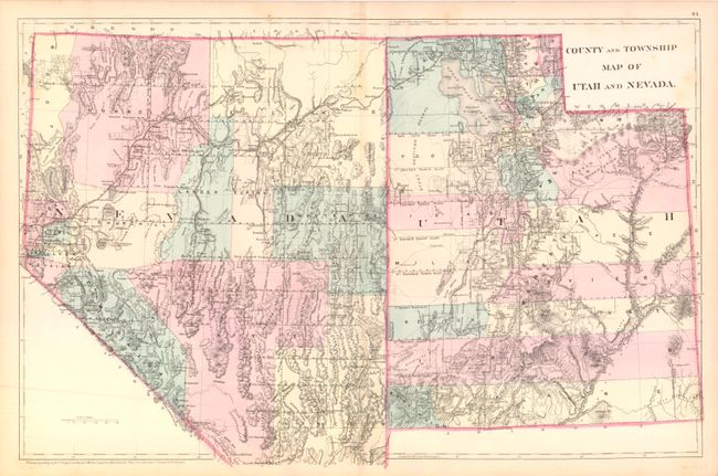
Subject: Southwestern United States - Utah and Nevada
Period: 1880 (dated)
Publication: New General Atlas
Color: Hand Color
Size:
22 x 14.3 inches
55.9 x 36.3 cm
Download High Resolution Image
(or just click on image to launch the Zoom viewer)
(or just click on image to launch the Zoom viewer)