Catalog Archive
Auction 139, Lot 161

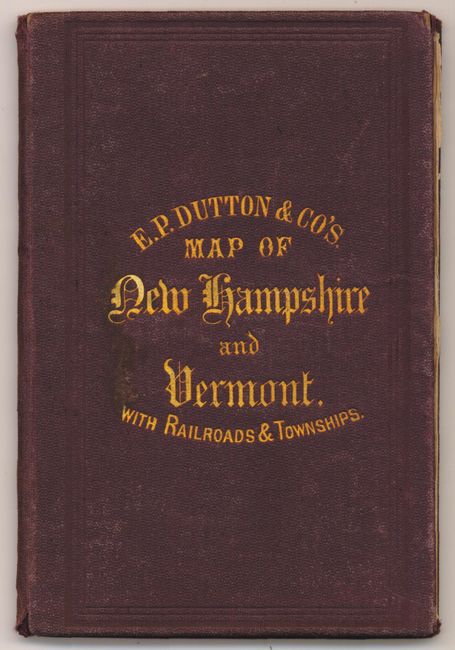
"Township Map of Vermont and New Hampshire", Dutton, E. P.

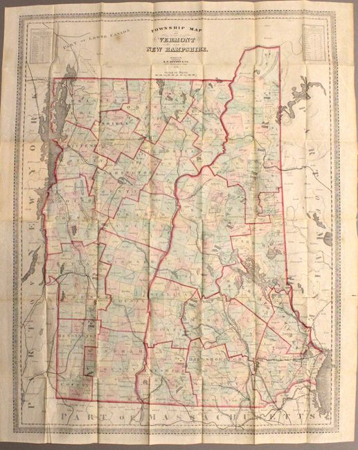
Subject: Vermont, New Hampshire

Period: 1868 (dated)

Publication:

Color: Hand Color

Size:
22.5 x 29.5 inches
57.2 x 74.9 cm
Download High Resolution Image
(or just click on image to launch the Zoom viewer)

This pocket map of Vermont and New Hampshire delineates both townships and counties and displays the railroad network, wagon roads and rivers. Tables at the upper left and right show traveling distances between various locations. The map folds into original brown cloth boards with stamped gilt title.

References:

Condition: B+

Original hand color with one small fold separation that just enters the image and a few short splits at fold intersections. There is some light extraneous creasing and a few small spots, still overall very good. Covers with minor wear.

Estimate: $150 - $200

Unsold

Closed on 2/15/2012

Archived