Subject: United States
Period: 1929-30 (published)
Publication:
Color: Printed Color
Size:
18.5 x 26 inches
47 x 66 cm
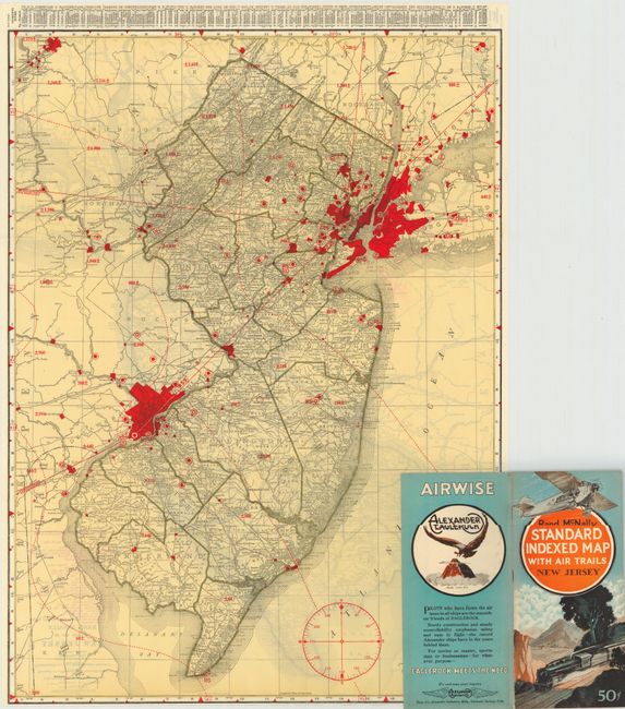
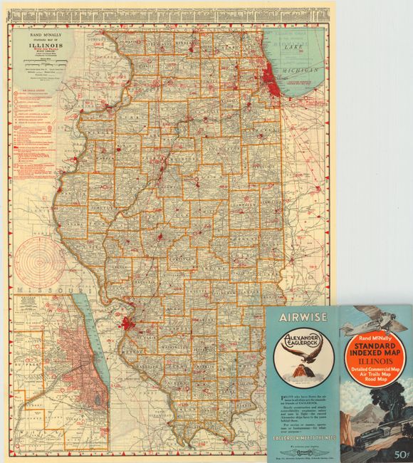
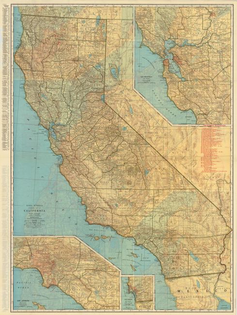
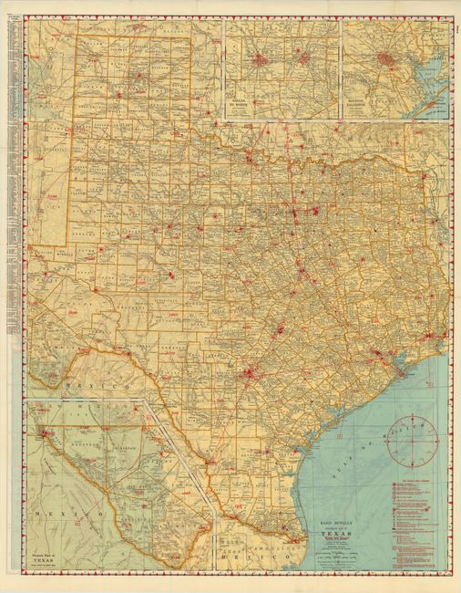
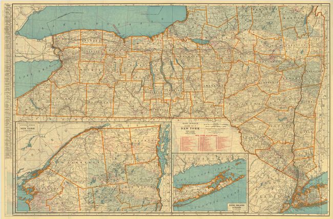
This is a very rare, nearly complete set of state "Air Trails" pocket maps, with only the Florida map missing (Maryland and Delaware maps are combined).
Each is complete with the original booklet that is filled with information for the aviator, a list of cities and towns, advertisements and more. Some aviation related sections include an Airport Directory, Aids to Navigation, and the Practical Air Navigation which reads much like a modern Private Pilot's lesson book with information on Plotting the Course, How To Find the Compass Course, Corrections for Wind, the Magnetic Compass and a Time and Distance Chart. Each also contains a double page Airway map of the United States that includes the routes of nearly forty airlines, air mail routes and more. The handsome Art Deco-style cover features a Ford Tri-Motor with a steam locomotive below.
The dimensions given are approximate with some maps larger. Each map has a standard Rand McNally map on one side and the Air Trails map on the verso. The map uses red overprinting to note the elevation of high ground and mountains. The legend locates Public Airports, Restricted Airports (Army, Navy, Clubs, Private, etc.), Sea Plane Ports, Revolving Beacon Lights, and aids to navigation such as RS, RD, and RM radio stations. In many cases the maps document many early fields that no longer exist. These maps were produced for only a short time.
References:
Condition: A
The maps are mostly fine with some very good, a number of which appear to have never been used before. Some of the maps are no longer attached to the back cover.