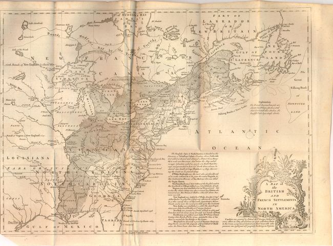
Subject: Colonial United States & Canada
Period: 1755 (published)
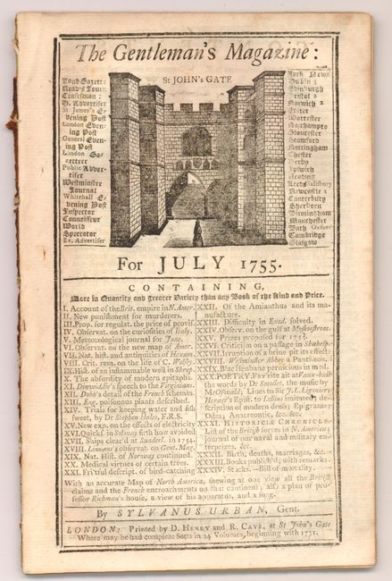
Publication: Gentleman's Magazine
Color: Black & White
Size:
15.3 x 11 inches
38.9 x 27.9 cm
This is the first of several similar maps illustrating the French/British conflict in North America. It was issued just before the French and Indian War was officially declared and depicts, by hachure, the French encroachment into British claimed territory. Earl Granville's Property is shown in North Carolina and extending to the western-most edge of the map, which is about the 100th Meridian. Several treaty lines are shown in addition to British and French forts and numerous Indian tribes. Decorative title cartouche and lengthy description of the history of the colonies enhance the map. Still bound into the original July, 1755 issue of the magazine with an early mention of Colonel George Washington.
References: Sellers & Van Ee #5; Jolly GENT-91; McCorkle #755.24.
Condition: B+
There is some extraneous creasing and a binding trim at lower left with a tiny binding tear that just passes the neatline. Lower blank margin was trimmed at left corner, removing a miniscule amount of neatline.