Subject: Russian Empire
Period: 1837-38 (dated)
Publication: Atlas Universel
Color: Hand Color
Size:
14.5 x 20.5 inches
36.8 x 52.1 cm
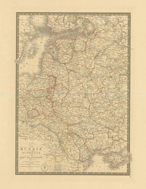
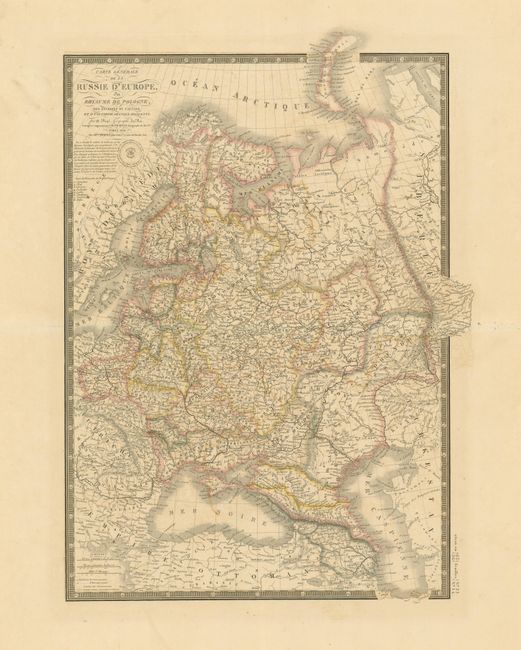
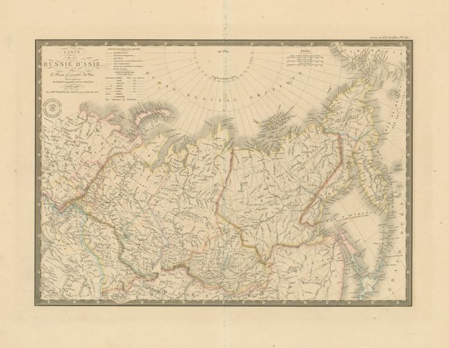
These three matching maps of the Russian Empire are beautifully and finely engraved with great detail. Each is surrounded with a decorative keyboard-style board, embellished with fancy title lettering and flourishers, and Brue's blind stamped imprint.
A. Carte de la Russie Occidentale et du Royme. de Pologne, 1837, 14.7" x 20.2". This map focuses on the heart of European Russia and includes tremendous detail. It shows all of Poland and extends east to the Black Sea to show all of the Crimea, and north to above St. Petersburg. Condition: Some minor damp stains in margins. (A)
B. Carte Generale de la Russie d'Europe du Royaume de Pologne, 1838, 14.3" x 21". This map covers the region from Poland and the Baltic nations to the Caspian and south to Turkey (Empire Ottoman). Condition: (A)
C. Carte de la Russie d'Asie, 1838, 20.3" x 14.5". This map shows Russia in Asia from the Ural Mountains to Berings Strait. It includes the northern islands of Japan, the Kuril Islands and Kamchatka. Condition: There is some soil on the centerfold and a small piece of paper stuck to the surface just below the distance scales. (B+)
References:
Condition:
All have original outline coloring on full sheets with wide, original margins. See description for additional information.